VIDEO: Big Picture – Cold front for NZ this weekend, but high pressure dominates
14/05/2025 12:21am

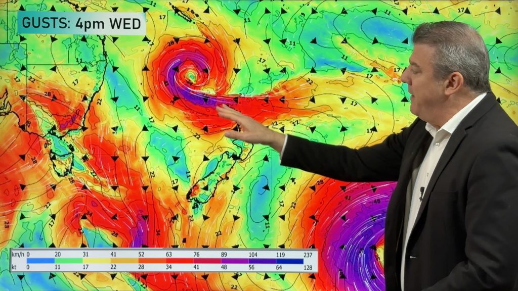
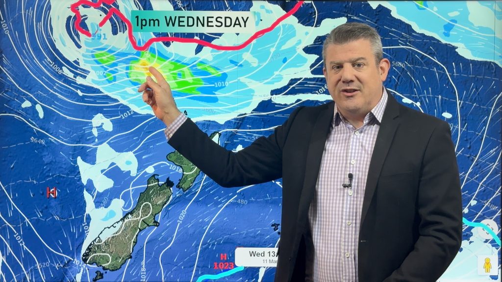
A windier, colder and wetter burst of weather is coming into NZ this weekend but there’s still a lot of high pressure moving through from west to east in the week or two ahead.
This weekend severe NW gales, some alpine snow and a chance of hit and miss thunderstorms are all possible as the colder southerly spreads up the nation on Sunday (after a warmer than average Friday and Saturday for many regions).
Next week high pressure returns – although some may have colder and windier weather lingering. We have your NZ forecast through until Tuesday.


Add new comment