VIDEO: Australia – May’s mountainous highs moving on, southern lows more likely by June
20/05/2024 4:13am

> From the WeatherWatch archives
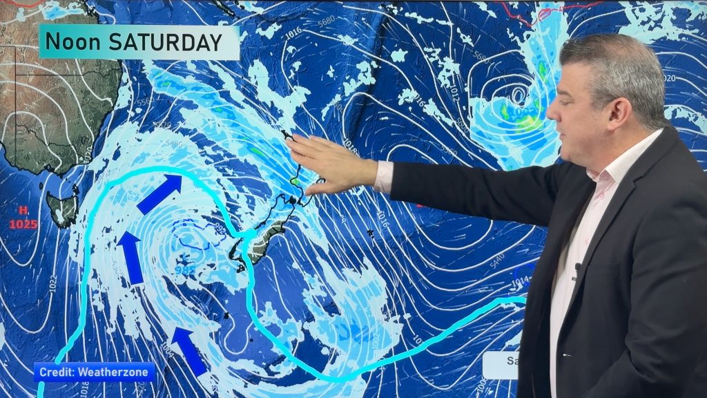
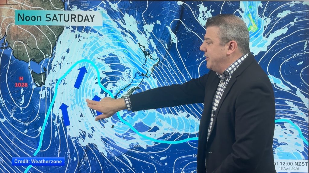
Powerful high pressure continues to dominate Australia’s weather this week but is this the last? After what has been months of repetitive weather for many parts of the nation there are some signs the giant southern high pressure zone this week might be the last for a while – allowing low pressure zones to finally return to the south.
It’s not locked in yet, but we show you the weather map for the last day of May, showing how the huge high pressure zone this week may be replaced by a large low pressure zone next week – and going into June.
While this week there isn’t much to talk about, we do still see showers right along eastern Australia and another cold front (with some brief snow) for Tasmania.
Our next video (coming out this Thursday) will be even more focus on the hopeful moving on of high pressure and the return to low pressure.
We’ll also have our next 7 day rainfall outlook then too.
Comments
Before you add a new comment, take note this story was published on 20 May 2024.


Add new comment