VIDEO: Another weak cold front on Saturday, otherwise high pressure reigns
5/03/2025 1:40am

> From the WeatherWatch archives
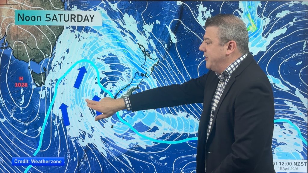
More high pressure is moving into NZ and despite a weak cold front this weekend in some regions, many parts of the north of both main islands look drier than average.
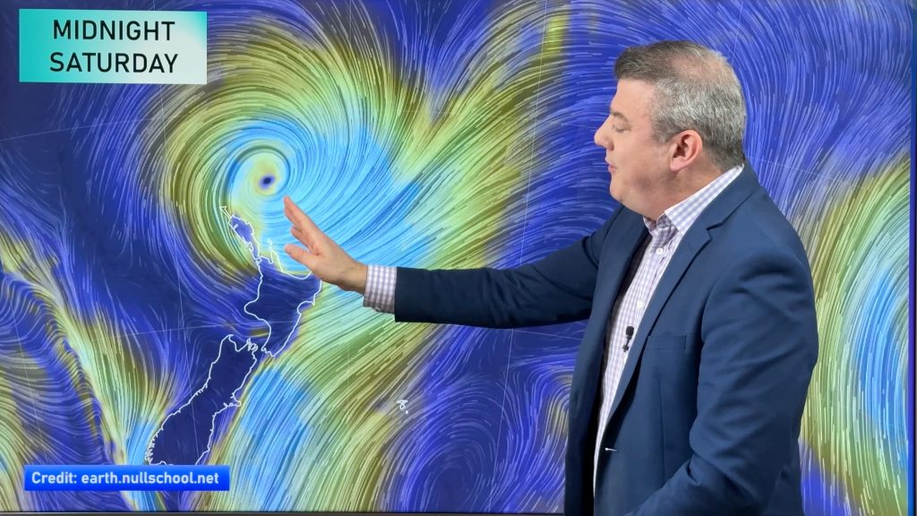
High pressure looks especially dominant in the NZ area at the moment but we are still tracking Cyclone Alfred to see if his remnants will reach NZ in any shape or form (as a new system, not so much an ex-cyclone/storm). At this stage high pressure is most dominant.
We have your forecast to Monday next week and will drill down even deeper on Friday in our “7 Day RainWatch” update, brought to you by Resupply.
Comments
Before you add a new comment, take note this story was published on 5 Mar 2025.
Latest Video
Autumn westerlies kick in, large weekend low coming
This week we switch gears, shifting into a more classic Autumn weather pattern with cold fronts, windy westerlies and nor’westers,…
Related Articles
Autumn westerlies kick in, large weekend low coming
This week we switch gears, shifting into a more classic Autumn weather pattern with cold fronts, windy westerlies and nor’westers,…
NZ (SUN): Cyclone Vaianu moves across the North Island
Cyclone Vaianu made landfall in Bay of Plenty this afternoon and is now moving into Hawke’s Bay, with the centre…
NZ (SAT): Updated forecast for Cyclone Vaianu
We have the latest tracking of Vaianu as the subtropical cyclone moves into the upper North Island tonight, and across…


Add new comment
Andrew eanshaw on 5/03/2025 6:29am
No sound with forecast
Reply