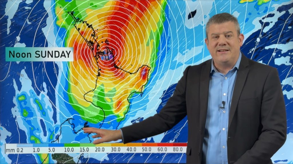
VIDEO: 7 Day NZ RainWatch: Who gets rain, who misses out
17/05/2024 12:28am

> From the WeatherWatch archives
A cold front will bring winter-like weather into the lower South Island on Saturday but won’t make to the top of the South Island.
High pressure dominates northern NZ this weekend with a settled Saturday for most, and a breezy nor’wester around Cook Strait.
Snow flurries are likely on the hills and ranges of the lower South Island and rain moves up the West Coast.
Next week low pressure in the Tasman Sea looks to slowly track towards northern parts of the North Island.
It’s a messy set-up and we explain what may (or may not) happen – and why.
We also have a 7 day Rainfall Map at the end of the forecast – to paint the picture of what is coming in rainwise. Central NZ looks driest (upper SI, lower NI).
Comments
Before you add a new comment, take note this story was published on 17 May 2024.


Add new comment