> From the WeatherWatch archives
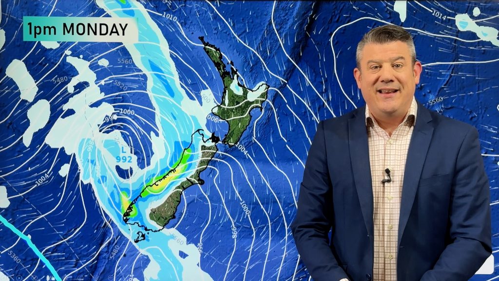
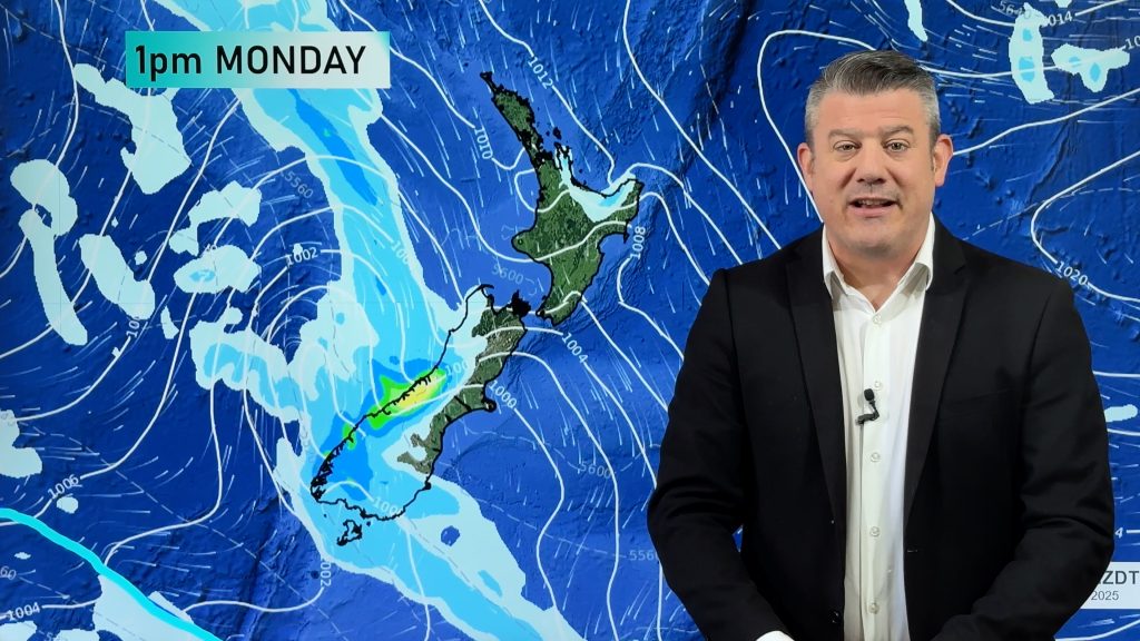
A ridge lies over the North Island today while northwesterlies build elsewhere, a front moves onto the lower South Island overnight.
Northland, Auckland, Waikato & Bay Of Plenty
Sunny with light south to southwesterly winds.
Highs: 16-17
Western North Island (including Central North Island)
A mix of sun and cloud near the coast, mainly sunny inland. Light west to northwesterly winds.
Highs: 13-16
Eastern North Island
A few morning showers clear about Gisborne, mostly sunny elsewhere after any early cloud clears. Southwesterlies die out in the morning, winds tend northeast in the afternoon.
High: 16
Wellington
Sunny areas, cloud increases from afternoon. North to northwesterly winds freshen.
High: 16
Marlborough & Nelson
Sunny with light winds, afternoon north to northwesterly winds.
Highs: 16-18
Canterbury
Mostly sunny with light winds, afternoon east to northeast winds near the coast.
Highs: 14-15
West Coast
Sunny areas and increasing cloud, drizzle about South Westland from afternoon then rain moves into Fiordland in the evening becoming heavy. Drizzle about North Westland from late evening. Northerly winds.
Highs: 13-14
Southland & Otago
Sunny areas and increasing high cloud, late evening or overnight spots of rain possible. Widespread rain overnight moves into Southland. North to northwesterly winds.
Highs: 15-16
By Weather Analyst Aaron Wilkinson – WeatherWatch.co.nz
Comments
Before you add a new comment, take note this story was published on 1 May 2017.


Add new comment