> From the WeatherWatch archives
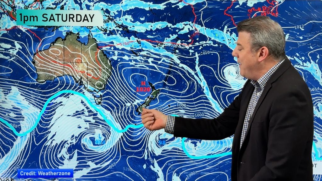
A low moves towards New Zealand from the west in the Tasman Sea today, a warm then cold front move onto the West Coast of the South Island from evening.
Northland, Auckland, Waikato & Bay Of Plenty
Plenty of high cloud and occasional areas of sun. The Bay Of Plenty is mostly cloudy, risk of a shower or two otherwise mainly dry. The Waikato may see an evening shower otherwise dry. East to northeasterly winds.
Highs: 22-24
Western North Island (including Central North Island)
Sunny areas and thickening high cloud, evening scattered rain. Light northeasterly winds.
Highs: 20-23
Eastern North Island
Sunny areas and thickening high cloud, a few spots of evening rain. Gisborne is mostly cloudy with a slightly higher risk of showers during the day. Northeasterly winds.
Highs: 21-22
Wellington
Sunny areas, high cloud thickens and lowers during the day then some patchy rain moves in later in the evening. Northerly winds.
High: 20
Marlborough & Nelson
Some morning sun about Marlborough then expect high cloud to thicken and lower, a few spots of rain from late afternoon or evening. Becoming cloudy in the morning about Nelson, rain from afternoon becoming heavy later on. Quite heavy falls overnight about the northwest Nelson ranges. Northerly winds.
Highs: 19-21
Canterbury
Sunny areas and thickening high cloud, the odd shower or spot of rain later in the evening. Light winds.
High: 19-20
West Coast
Cloudy with areas of rain or drizzle, more so about South Westland then spreading into North Westland during the afternoon. Rain becoming heavy later in the evening or overnight about North Westland, especially about Buller. Northeasterly winds.
Highs: 18-20
Southland & Otago
Sunny areas and thickening high cloud from morning, a few spots of rain possible from late morning (mainly about Southland. More persistent widespread rain from evening as light northerlies tend southeast.
Highs: 16-18
By Weather Analyst Aaron Wilkinson – WeatherWatch.co.nz
Comments
Before you add a new comment, take note this story was published on 10 Apr 2017.


Add new comment