> From the WeatherWatch archives
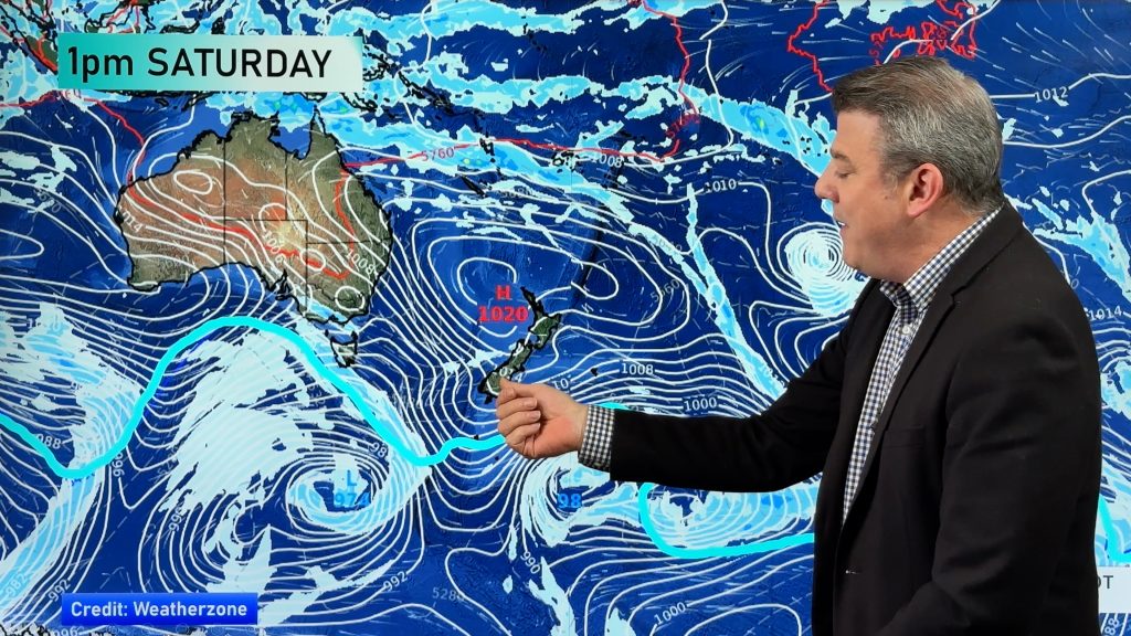
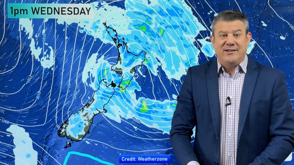
A ridge hangs onto the upper North Island on Tuesday while a brisk to strong northwesterly airflow lies over the rest of the country. A front moves onto the lower South Island in the evening.
Northland, Auckland, Waikato & Bay Of Plenty
Morning cloud breaks to sunny spells, light west to southwesterly winds. Afternoon sea breezes for the Bay Of Plenty and eastern Northland.
Highs: 25-27
Western North Island (including Central North Island)
Mostly cloudy with drizzle patches, dry spells too. Breezy west to northwesterly winds.
Highs: 21-23
Eastern North Island
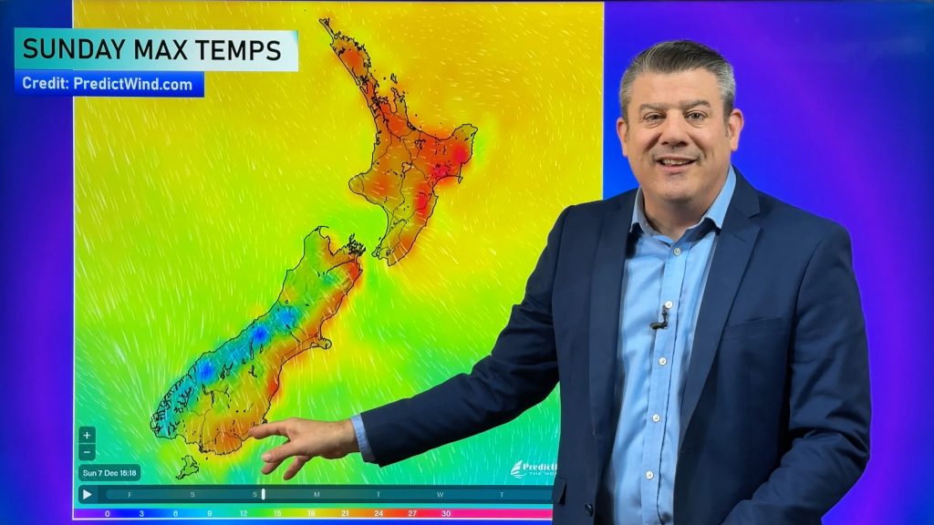
Mostly sunny with some high cloud from afternoon, winds from the northwest for most although tending east to northeast in the afternoon about coastal Hawkes Bay and Gisborne. Temperatures getting into the low to mid 30’s for some areas just inland away from the coast.
Highs: 29-34
Wellington
Cloudy areas with brisk north to northwesterly winds.
High: 21
Marlborough & Nelson
Sunny areas and some high cloud, brisk to strong northwesterlies from afternoon about Marlborough. Winds not as strong for Nelson.
Highs: 23-30
Canterbury
Sunny areas and some high cloud, gusty afternoon northwesterly winds strong about inland areas.
Highs: 29-30
West Coast
Cloudy with the odd shower or some drizzle, rain about Fiordland becomes heavy in the afternoon then gradually moves northwards. Winds gusty from the north.
Highs: 18-21
Southland & Otago
Some high cloud, the odd spot of rain possible then late afternoon or evening gusty northwesterly winds change southwest bringing rain. Rain may be heavy then easing later on or overnight.
Highs: 23-30
By Weather Analyst Aaron Wilkinson – WeatherWatch.co.nz
Comments
Before you add a new comment, take note this story was published on 30 Jan 2017.


Add new comment