> From the WeatherWatch archives
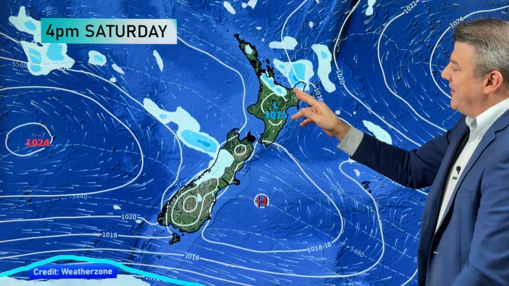
Any rain about Northland clears in the morning to mostly sunny weather however there may be a few isolated showers into the afternoon, winds tend northwesterly with high’s upwards of 17 degrees. Rain eases clearing towards evening further south from Auckland through to the Waikato and Western Bay of Plenty, gusty northeasterlies tend northwest later there. Cloudy about most other areas of the North Island with breezy east to northeasterly winds, showers spread southwards to reach Wellington in the evening. High’s around the lower North Island in the low double figures.
Mostly sunny weather on the West Coast once again with breezy east to southeasterly winds, some high cloud north of the Glaciers. Mostly sunny about Southland and Central Otago with northeasterly breezes. Mostly cloudy skies can be expected along the East Coast and top of the South Island with east to northeast breezes, drizzle patches or light rain from evening especially north of Banks Peninsula. High’s of around 13 can be expected in Greymouth, cooler in the east and north with 8 to 10 degrees looking likely.
– By weather analyst Aaron Wilkinson, WeatherWatch.co.nz
Comments
Before you add a new comment, take note this story was published on 2 Jul 2012.


Add new comment