Tuesday Newsfeed: High exits, low enters. We track the new wet weather.
14/05/2024 1:42am

> From the WeatherWatch archives
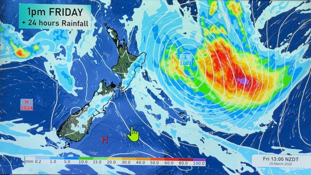
High pressure that has dominated NZ’s weather pattern for over two weeks is now finally moving out to the east of the country and this will do two things.
1: It allows milder winds to move over the country with some places enjoying a 10 to 15 degree bump (or more) in overnight lows from where they were over the weekend or late last week.
2: It allows low pressure in the Tasman Sea to form and move in, bringing some rain to New Zealand.
The low isn’t major, but it is likely to bring in some patchy rain clouds across the North Island and the upper South Island. Refer to our websites or new app to get rainfall estimates. These estimates may move around a bit due to the overall sluggishness of this system coupled with our mountains and ranges. Our rainfall data updates hourly.


- WeatherWatch.co.nz
Comments
Before you add a new comment, take note this story was published on 14 May 2024.


Add new comment