Tuesday Newsfeed: Cold front heads up NZ
2/09/2024 7:57pm

> From the WeatherWatch archives
We have a cold front moving up the country today bringing a drop-in temperatures and a brief dusting of snow on the mountains and ranges. Windy NWers for the North Island and a W to SW lean for the South Island.
Let’s get into the forecast for Tuesday
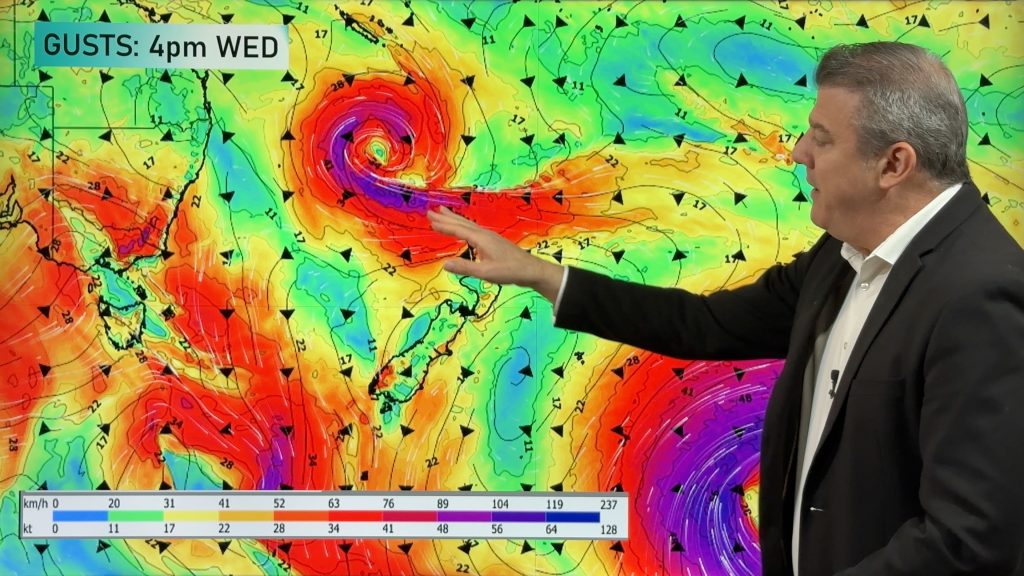
RAIN:
A cold front moves up the country today and most of the wet weather comes in from the west for today (tomorrow some in the eastern North Island may get some wet weather). There will be a few showers and some spill over rain that makes it into Canterbury and other parts of the east and south. Rain will be heaviest around the West Coast, Mount Taranaki and the Tararua Range. Check your hourly WeatherWatch forecast for more details… the “Trend” graphs in our free app are helpful at making sense of general start/peak/end times for rain and wind.
WIND:
Windy and warmer West to North-Westers carry on around parts of the North Island today while the South Island has cooler West to South-West winds starting to kick in behind the cold front.
TEMPERATURES:
It will be warmer than average again today across a large portion of New Zealand especially the North Island and the upper South Island, however temperatures will be dropping back to lower levels around the lower South Island. Despite the southerly change many places may still remain slightly warmer than average for this time of the year.
WEEK AHEAD:
We have a colder flow coming into New Zealand on Wednesday with patchy rain and showers over the North Island, including coming into the eastern side as winds may turn south east for a time. On Thursday high-pressure in the Tasman Sea moves closer to New Zealand which means there’s still a South to South-West lean to the airflow for the North Island but if you live in the South Island winds may start to pick up again from the West to North-West and by Friday those West to North West winds spread further nationwide — and they ramp up even further on Saturday with severe gales possible through parts of the South Island and lower North Island, along with heavy West Coast rain thanks to a storm just south of Stewart Island.


As always drill down deeper with your hyper-local, hourly, 10 day forecasts at WeatherWatch.co.nz – or download our Free App.
Comments
Before you add a new comment, take note this story was published on 2 Sep 2024.
Latest Video

NZ 8 Day: High pressure to return, also monitoring tropics next week
A cooler change is moving into NZ tonight and Saturday then winds ease further on Sunday as high pressure starts…
Related Articles
NZ 8 Day: High pressure to return, also monitoring tropics next week
A cooler change is moving into NZ tonight and Saturday then winds ease further on Sunday as high pressure starts…

Unsettled Thu/Fri, high pressure returns this weekend & next week
Wind and some wet weather is moving into both ends of NZ today and tomorrow bringing broken up rain bands…
Subtropical low, windy for some, then high pressure slowly returns
It’s cloudy and windy for parts of New Zealand today with the North Island especially gloomy under cloud associated with…


Add new comment