Tuesday Newsfeed: Big high rolls in – but rolls out by Friday
12/08/2024 4:00pm

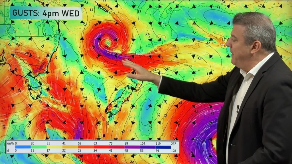
> From the WeatherWatch archives
((Programming Note: Apologies but we have no weather video today, we’re back again on Wednesday)) The ‘Big Picture’ weather-wise is that Tuesday kicks off with south to south-west winds starting to ease back from yesterday as cooler air spreads over northern NZ. These winds ease back even further tonight as a strong anticyclone moves in from the Tasman Sea. This high pressure zone will cross northern New Zealand on Wednesday and Thursday but is gone by the weekend.
Let’s get into the forecast …
RAIN
Tuesday and the next couple days are dry to mostly dry around NZ. A few showers linger in the eastern North Island, due to the southerly that remains today, but they should clear away later this afternoon and evening. Wednesday looks dry everywhere, apart from a few showers in Fiordland.
WIND & FOG:
Brisk south to south-west winds remain in some parts of NZ for Tuesday but they are easing. Lighter winds on Wednesday thanks to high pressure but westerlies kick into the lower South Island by Thursday. Fog might be an issue on Wednesday nationwide due to the calm weather. Check the Free Fog Forecaster in the WeatherWatch App.
TEMPERATURES
It’s a frosty start to Tuesday through the interior of both main islands but a fairly mild afternoon is on the way for the lower South Island most while the eastern North Island remains cool today in the fading southerly.
LATER THIS AHEAD
High pressure crosses the country on Wednesday and Thursday with the centre tracking over the upper North Island on Thursday bringing a windier and milder westerly for the South Island – and pushing temperatures up further beyond normal for this time of year. Friday has subtropical winds dragged down over parts of the country due to the high pressure zone departing to our north-east.
This weekend’s weather still isn’t yet locked in, but a low pressure zone is likely to move in from the Tasman Sea bringing some rain into the North Island, while a cold front may brush the South Island.
As always drill down deeper with your hyper-local, hourly, 10 day forecast at WeatherWatch.co.nz or download our app.


Comments
Before you add a new comment, take note this story was published on 12 Aug 2024.
Latest Video

NZ 8 Day: High pressure to return, also monitoring tropics next week
A cooler change is moving into NZ tonight and Saturday then winds ease further on Sunday as high pressure starts…
Related Articles
NZ 8 Day: High pressure to return, also monitoring tropics next week
A cooler change is moving into NZ tonight and Saturday then winds ease further on Sunday as high pressure starts…

Unsettled Thu/Fri, high pressure returns this weekend & next week
Wind and some wet weather is moving into both ends of NZ today and tomorrow bringing broken up rain bands…
Subtropical low, windy for some, then high pressure slowly returns
It’s cloudy and windy for parts of New Zealand today with the North Island especially gloomy under cloud associated with…


Add new comment