> From the WeatherWatch archives
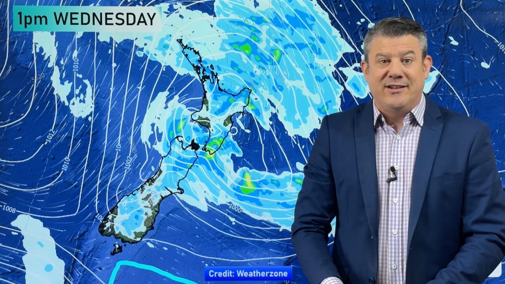
A low passes out to the east of the country on Thursday and the airflow changes around to the southerly quarter for the South Island, westerlies for the North Island.
Northland, Auckland, Waikato & Bay Of Plenty
Cloudy areas, perhaps a few afternoon sunny spells especially about the Bay Of Plenty. Chance of a shower or two especially in the afternoon, Northland stays mainly dry. Breezy westerly winds.
Highs: 19-22
Western North Island (including Central North Island)
Showers or areas of rain, easing during the day then mostly clearing away in the evening although the odd shower may continue overnight. Breezy west to northwesterly winds, brisk to strong about coastal areas.
Highs: 16-18
Eastern North Island
Any early rain clears then mostly sunny with gusty west to northwesterly winds. The Wairarapa sees showers for much of the day with cooler west to southwesterly winds.
Highs: 16-24
Wellington
Cloudy with morning rain easing to showers which become less frequent as the day goes along, breezy south to southwesterly winds.
High: 15
Marlborough & Nelson
Rain or showers ease during the day, dry areas increase from afternoon. Showers clear all together in the evening. Cool southwesterly winds.
Highs: 16-17
Canterbury
Morning rain with a chance of heavy falls then easing to showers and clearing overnight. Strong southwesterly winds with gales developing about the coast in the morning, possibly severe gale about Banks Peninsula.
Highs: 8-11
West Coast
Any morning showers clear then sunny areas increase from afternoon, southerly winds. South Westland has a mainly sunny day from morning.
High: 15-16
Southland & Otago
Mostly cloudy with the chance of a shower about Southland, showers more likely about Otago. Southeasterly winds tending southwest about coastal midday.
Highs: 11-12
By Weather Analyst Aaron Wilkinson – WeatherWatch.co.nz
Comments
Before you add a new comment, take note this story was published on 5 Apr 2017.


Add new comment