Thursday Newsfeed: Milder & windier weather develops as rain band moves in from west
21/08/2024 4:00pm

> From the WeatherWatch archives
High pressure is slowly leaving northern New Zealand today, tracking out to the east of the North Island. As it does this it will do two things: One, drag down sub-tropical air. Two, drive up windy west to north-west winds. This means the week will end much milder than how this week started!
Let’s get into the forecast for Thursday…
RAIN:
Rain clouds thicken in the lower half of the West Coast with rain setting in from the south and then tracking northwards later. And a side note – over the coming week parts of the central West Coast may have more than 400mm. Elsewhere for Thursday and just a few isolated showers remain in the North Island – otherwise a dry day.
WIND:
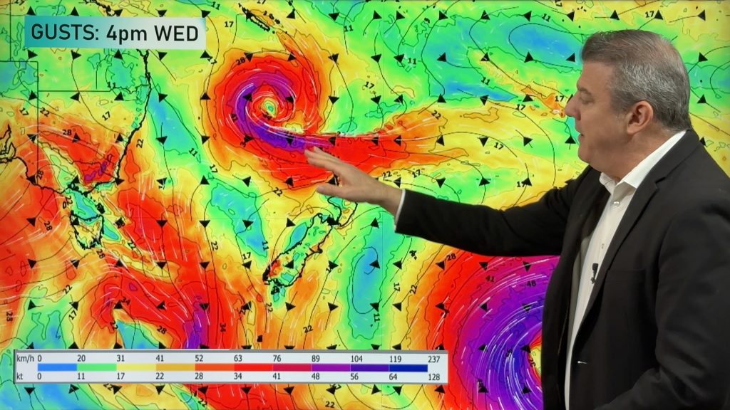
Wind today (and tomorrow) becomes more of an issue with strong west to north-west winds moving up the South Island (especially through the mountains) and towards Cook Strait. Severe north-west gales are likely in some parts of NZ over the next 48 hours.
TEMPERATURES:
Still a bit cold for some this morning but with sub-tropical air and windy nor’westers today (and more so tomorrow in the North Island) this means many places will be warmer than average in the days ahead – especially noticeable after the cold start to the week NZ has had this week!
5 DAYS AHEAD:
Friday has subtropical winds over the North Island, gale to severe gale nor’westers through central and eastern parts of the country along with heavy rain on the West Coast. That rain from the Tasman Sea moves into the North Island on Saturday while a cooler change will move into the South Island. By the time we get to Sunday high pressure is again moving back in and yet again mild nor’westers build over the South Island.
Next week looks to kick off with west to north-west winds.


As always drill down deeper with your hyper-local, hourly, 10 day forecasts at WeatherWatch.co.nz – or download our app.
Comments
Before you add a new comment, take note this story was published on 21 Aug 2024.


Add new comment