Summer temps arrive a month early, tonight especially warm (+5 Maps)
1/11/2022 8:50pm

> From the WeatherWatch archives
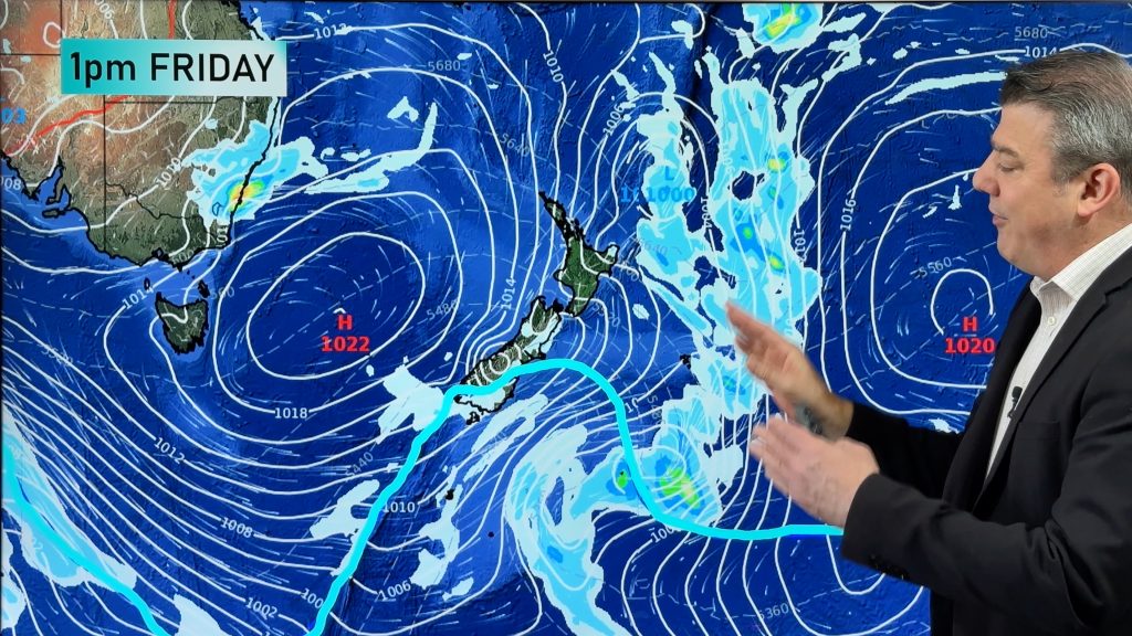
A tropical northerly is boosting temperatures across NZ with an even warmer night on the way for many following what will be a hot Wednesday too. Maximum temperatures through inland parts of Southland, Otago, Canterbury and Hawke’s Bay will be over 8 degrees above normal (for Nov 2). Many other regions will be 4 to 8 degrees above normal.
For those with sunny weather a number of regions will be in the low to mid 20s today with daytime highs on Wednesday afternoon pushing into the late 20s (maybe 30C in some isolated pockets) for those in the North Island’s east, like Hawke’s Bay. Waikato is also likely to make it into the late 20s. Hamilton has a high of 25C in the shade today but it may go a few degrees higher. The Humidex/Feels like Temperature will likely be over 30C.
Tonight, a combination of those tropical winds coupled with cloudy areas could see some places not drop below 17C. Napier and Auckland are both likely candidates with Whangarei, Tauranga and Hamilton in the mid teens.
On Thursday a low pressure zone near the lower South Island coupled with a Tasman Sea west to north west wind change will drop temperatures a little compared to Wednesday, but for most regions it will still be a few degrees warmer than normal for this time of year.
A cooler airflow returns to the lower South Island across Thursday and into Monday, but most other parts further north will remain mild.
TORRENTIAL WEST COAST RAIN DUE TO AIRFLOW
Tropical air, which is moisture laden, will be funnelled into the West Coast today. Hokitika township has 120mm forecast while the ranges nearby could receive over three or four times that, with 300 to 550m according to MetService. Much of this will fall today only. This heavy rain event eases on Thursday as the tropical airflow moves northwards and eastwards. Check your local RuralWeather.co.nz or WeatherWatch.co.nz hourly and daily rainfall totals. MetService warnings can be found here.


WeatherWatch.co.nz / RuralWeather.co.nz
Comments
Before you add a new comment, take note this story was published on 1 Nov 2022.


Add new comment