Stunning accuracy from computer models over Cyclone Gabrielle’s position for NZ
13/02/2023 6:49pm

> From the WeatherWatch archives
The accuracy of global computer models WeatherWatch.co.nz trusts most has been incredible for this event.
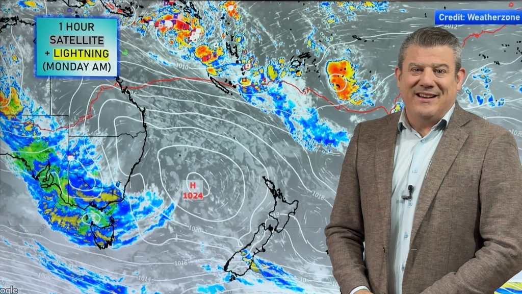
Take a look at the screenshot below that we used last Wednesday to show 4am Tuesday, compared with the actual 4am Tuesday (today) set up.
Whilst forecasting is not yet near 100% accuracy, those who follow the models can see how far the accuracy has improved over the past decade. It’s a sign of just how far technology has come that almost all global models forecast this storm well in advance, some nearly half a month in advance (like GFS from America).
Every event is unique and every event requires scrutiny and analysis of multiple models to confirm patterns and likely scenarios. The same model correct this time isn’t guaranteed to be correct next time, just like the All Blacks can win 10 games in a row easily, but then lose the 11th one spectacularly. But to see such high accuracy for this event a week before it arrived – and before Cyclone Gabrielle was even a low pressure system – is truly remarkable.
Also, credit to MetService for being first to announce this cyclone back on Waitangi Day – showing their confidence in the same modelling too.


- Maps courtesy Weatherzone
- By head forecaster Philip Duncan
- WeatherWatch.co.nz
Comments
Before you add a new comment, take note this story was published on 13 Feb 2023.


Add new comment
Rich W on 15/02/2023 6:23am
I do wonder when the likes of windy.com models are so accurate why we spend 10s of millions of dollars on metservices seemingly substandard advice. Do they actually do their own modeling? Or relay on the same models as windy? Personally I trust windy models over metservice.
Reply
WW Forecast Team on 15/02/2023 7:14am
Niwa uses tax funding to commercially compete against Tax funded MetService – using everyday Kiwis to fund the world’s only tax funded weather double up. Even in ELECTION YEAR we cannot gain anyone to see why this is terrible.
Not just us – here’s the story about MetService vs NIWA (we’ve stopped fighting this – as many told us to stop talking about it – so we’ve accepted NZ must be super rich and no one cares)
https://www.nzherald.co.nz/nz/politics/chance-of-rain-as-battle-between-metservice-and-niwa-gets-dirty/AY75FY6FRSVQVVDBAKQYVO6GTM/
– WW
Reply
Brian Harris on 14/02/2023 3:03am
Thanks to you Philip
Always appreciate the incredible job you do in prepping + delivering the clear and simple (understood by man-in-street!) VIDEO updates ..
They gave been our daily go-to in this challenging event
Great Job
👌🏻
Reply
Grant Doughty on 14/02/2023 2:40am
Thanks to you Phiilip and whom ever you get this weather info from, I have said before Weatherwatch is our go to for accurate info. we have the strong winds here in New Plymouth at least we did not get the rain. Our gardener will have a big job this Friday again thanks for an honest forecast
Reply
Lukas on 14/02/2023 2:25am
Thanks for the great info and communicating it in a way that makes sense. What was the final low pressure recording for Auckland in the end?
Reply
WW Forecast Team on 14/02/2023 2:48am
Hi Lukas, Auckland (Motat) got down to 971.5hPa, Leigh 971, Thames 970.5 and Great Barrier Island got down to 965.4 (Claris Airport).
We don’t have any other numbers at this stage. These were from Niwa and GBI one was private.
– Cheers
WW
Reply
Andrew on 13/02/2023 9:18pm
Wholeheartedly agree. Streets ahead of where it was when I was in Met – though whether it’s forecasting or not now, I don’t know. It’s more interpreting computer models!
7 days ahead, when it hasn’t properly formed is great stuff.
Interestingly, calm here in Mapua, though the threat and energy is clear to see all around.
Reply