> From the WeatherWatch archives
For the first time in months an aggressive cold front is hitting southern Australia and coming towards New Zealand.
According to WeatherZone.com.au parts of Perth and southwest Western Australia have been lashed by the strongest winds of the year so far, tearing roofs of buildings and bringing down trees and powerlines.
Winds in excess of 90km/h lashed Perth suburbs and the surrounds this morning, leaving tree and building debris across roads and paths.
Coastal areas, including Swanbourne, Busselton, Mandurah and Rottnest Island have suffered the most with their strongest winds since last September.
Swanbourne recorded a 95km/h gust at 2:30am and Busselton 98km/h at 5:30am and Rottnest Island 104km/h at 1pm Sunday.
The strongest recorded in the southwest has been 111km/h at Cape Naturaliste, the windiest it’s been at the site in more than a year.
Wind has temporarily eased in the Perth area but an increase can be expected this afternoon as another front comes through, which may also cause damage.
Those in Great Southern, Southern Coastal and Eucla can expect this burst of potentially damaging winds to move through tonight.
Along with the wind there has been widespread rain.
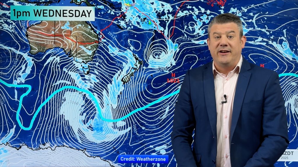
The cold front should reach western New Zealand on Thursday or Friday as it races across the Southern Ocean and Tasman Sea.
– www.weatherzone.com.au for more details
Homepage image: Stormy weather, Kerry Payne
Comments
Before you add a new comment, take note this story was published on 12 Jul 2010.


Add new comment