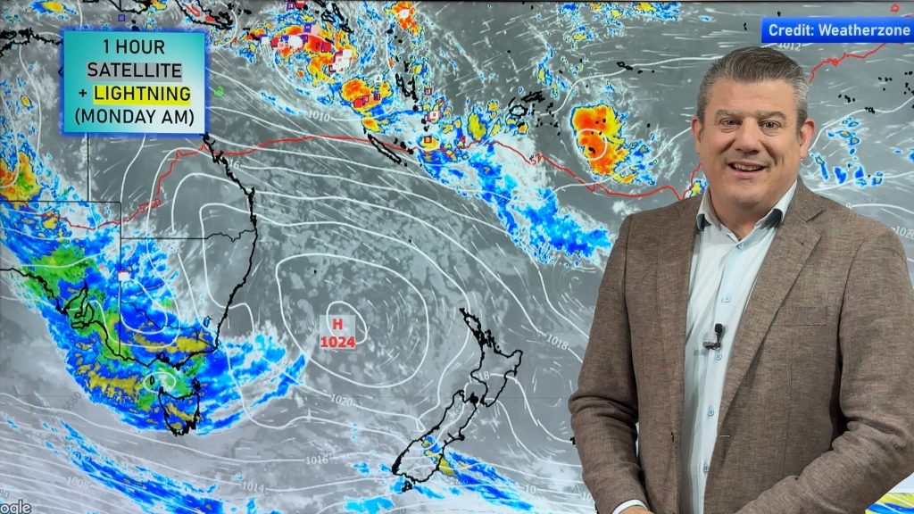
Special Video: Cyclone JASPER heads slowly towards Queensland
5/12/2023 10:15pm

> From the WeatherWatch archives
The third South Pacific Tropical Cyclone of the early season is underway and is expected to become a Severe Category 4 storm (at least) in the coming days.
Cyclone Jasper will peak in power around Sunday and should weaken a little before landfall (based on modelling for the past few days).
The cyclone’s precise tracking and impact into Queensland isn’t yet clear – the distance where this storm could come in is almost the length of NZ! But between Cooktown and Bundaberg is the main risk, which includes both Cairns and Townsville.
We give you the tracking, compare models, and help break it down for you.
*Programming Note: We have our Australia-only 7 Day outlook on Thursday, this video will cover the latest on Cyclone Jasper.
Comments
Before you add a new comment, take note this story was published on 5 Dec 2023.


Add new comment
Esme Henderson on 6/12/2023 2:48am
Thanks Philip for your easy to understand forecasting and as we are at Halifax ( flood capital of Qld!!!), we are following you especially with Jasper!
Reply