> From the WeatherWatch archives
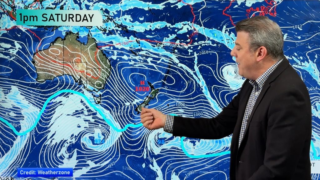
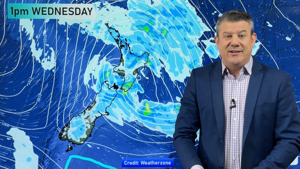
A low pressure system is centred off the West Coast of the South Island with a front slowly passing over the country from the west.
Northland, Auckland, Waikato & Bay Of Plenty
The odd shower then rain from afternoon, possibly heavy in the evening / overnight. Breezy north to northeasterly winds.
Highs: 15-17
Western North Island (including Central North Island)
Rain, a little more persistent from afternoon (heavy about Taranaki with gales). Breezy northeasterly winds. Conditions ease overnight however rain may stay heavy about the Central North Island especially in the north.
Highs: 10-15
Eastern North Island
Cloudy with scattered rain about the Wairarapa spreading into Hawkes Bay late afternoon / evening, gusty northeasterly winds.
Highs: 13-15
Wellington
Patchy rain, more persistent from afternoon. Breezy to brisk north to northeasterly winds.
High: 13
Marlborough & Nelson
Rain with heavy falls especially about Nelson and the Marlborough Sounds, coastal Marlborough perhaps a little less although some rain may be heavy for a time afternoon / evening. Breezy northeasterly winds.
Highs: 13-14
Canterbury
Rain eases then clears this afternoon, some sun may even break through. Light winds.
High: 10
West Coast
Heavy rain eases during the afternoon. Breezy northeasterlies ease.
Highs: 11-13
Southland & Otago
Cloud builds this morning, rain or showers move in this afternoon as light winds tend southeasterly.
Highs: 8-11
By Weather Analyst Aaron Wilkinson – WeatherWatch.co.nz
Comments
Before you add a new comment, take note this story was published on 30 Jun 2017.


Add new comment