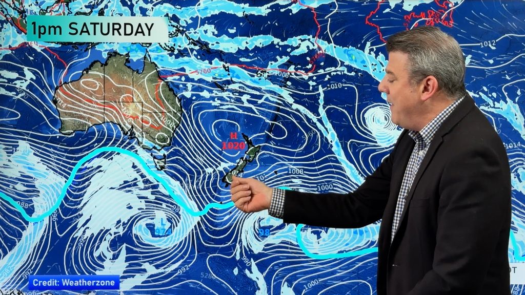
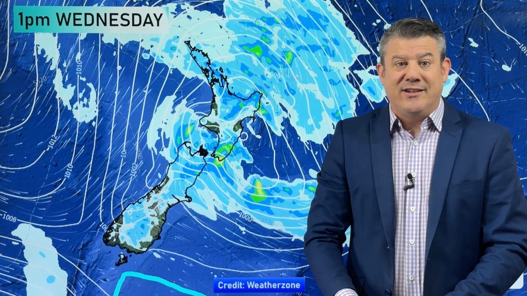
A messy area of rain, showers and dry conditions will spread over the North Island over Sataurday although we still expect plenty of dry weather, especially the further east you go.
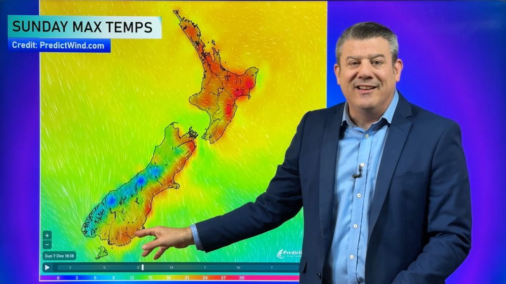
Much of the South Island has a brief pause between systems – and a much colder change arriving on Sunday in Otago and Southland, so make the most of today!
A low is forming over the North Island on Saturday/the weekend so the areas of rain may grow/shrink a bit in the coming 48 hours. Keep checking back for updates. It’s a complicated, messy set up for the North Island meaning changes to some forecasts are likely.
Northland, Auckland, Waikato & Bay Of Plenty
Quite cloudy with showers developing or patchy rain developing for a time but still plenty of dry spells. Northerlies.
Highs: Around 20
Western North Island (including Central North Island)
Patchy rain or showers developing for a time, especially around Taranaki. Still some dry spells. Northerlies.
High: 17 to 20
Eastern North Island
A mix of sun and cloud with clouds thickening and even a few spits of rain possible later or overnight.
Highs: 21-24
Wellington
Cloudy with the odd shower or area of rain developing today, brisk north to northwesterly winds.
High: 18
Marlborough & Nelson
A mainly dry morning then afternoon showers or rain with north to northwesterly winds.
Canterbury
Mostly sunny, light variable winds more nor’east near the coastline
West Coast
Mostly dry with sunny spells. Light winds or light SWers.
Highs: 16 or 17
Southland & Otago
Mostly dry and mild but cloudiest in Southland with late showers or rain ahead of the cold southerly on Sunday. Winds mainly light or from the west.
Highs: 16-18
– WeatherWatch.co.nz


Add new comment