> From the WeatherWatch archives
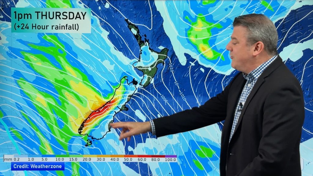
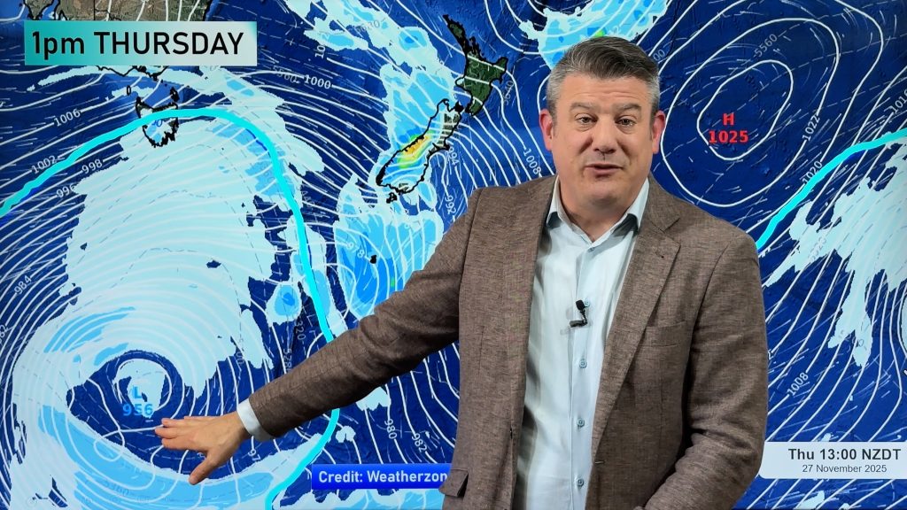
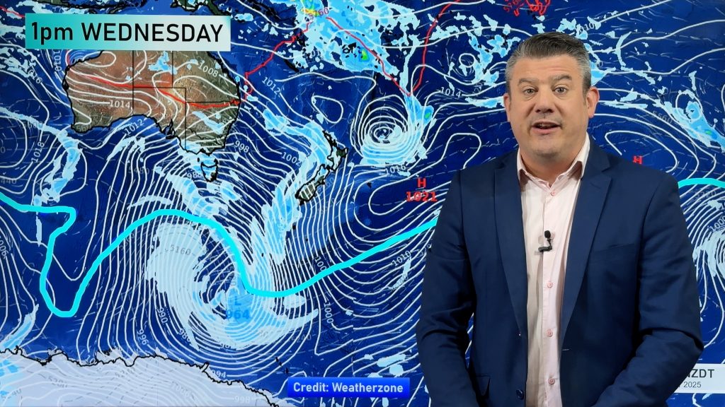
A northwesterly airflow increases over New Zealand today, dry and warm in the east. Cloud and rain pushes onto the South Island’s West Coast. Mostly sunny for the west of the North Island but expect some high cloud.
Northland, Auckland, Waikato & Bay Of Plenty
Mostly sunny with a touch of high cloud from afternoon, then cloud thickens in the evening. North to northwesterly winds.
Highs: 19-20
Western North Island (including Central North Island)
A mostly sunny morning then cloud increases from afternoon, patchy rain moves in overnight. West to northwesterly winds increase after midday.
Highs: 16-18
Eastern North Island
Mostly sunny with high cloud increasing from afternoon, northwesterly breezes pick up later in the day. Some rain may spread into the Wairarapa and Hawkes Bay by dawn on Sunday.
Highs: 16-18
Wellington
Sunny areas and increasing cloud, strong northerly winds develop in the afternoon. Overnight rain.
High: 15
Marlborough & Nelson
Mostly sunny with increasing high cloud from morning, a few spots of rain move through overnight. North to northwesterly winds become breezy after midday.
Highs: 17-21
Canterbury
Sunny areas and some high cloud, a few spots of rain may pass over in the afternoon. Breezy northerly winds.
Highs: 20-21
West Coast
Cloudy with rain about South Westland moving into North Westland after midday, the odd heavy fall possible. Increasing northerly winds change southwest overnight with rain then easing.
Highs: 14-15
Southland & Otago
High cloud with the odd spot of rain at times, increasing northerly winds change southwest in the evening.
Highs: 17-19
By Weather Analyst Aaron Wilkinson – WeatherWatch.co.nz
Comments
Before you add a new comment, take note this story was published on 13 Nov 2015.


Add new comment