> From the WeatherWatch archives
Westerlies today ahead of a front which moves onto the lower South Island late morning reaching the lower North Island overnight, this front will weaken a fair amount during the day as it moves northwards.
RainWatch is a series during the weekdays, giving a snapshot about where around New Zealand areas of precipitation may affect your day.
Chance of a light shower or two from afternoon about coastal Waikato southwards.
Chance of a brief shower or two about the lower North Island in the west for a time in the afternoon. Overnight a south to southwesterly change pushes in bringing the risk of a shower.
Chance of a shower for the West Coast of the South Island, some rain moves into South Westland during the morning then pushing northwards during the day. Rain eases late afternoon / evening once a southwest change pushes through.
During the morning a southwest change pushes first into Southland then late morning about Otago bringing showers. Once this change moves into Canterbury late afternoon / evening showers may turn heavy with possible thunderstorms and hail. These showers clear overnight for most although the odd one may linger Banks Peninsula northwards.

WeatherWatch.co.nz
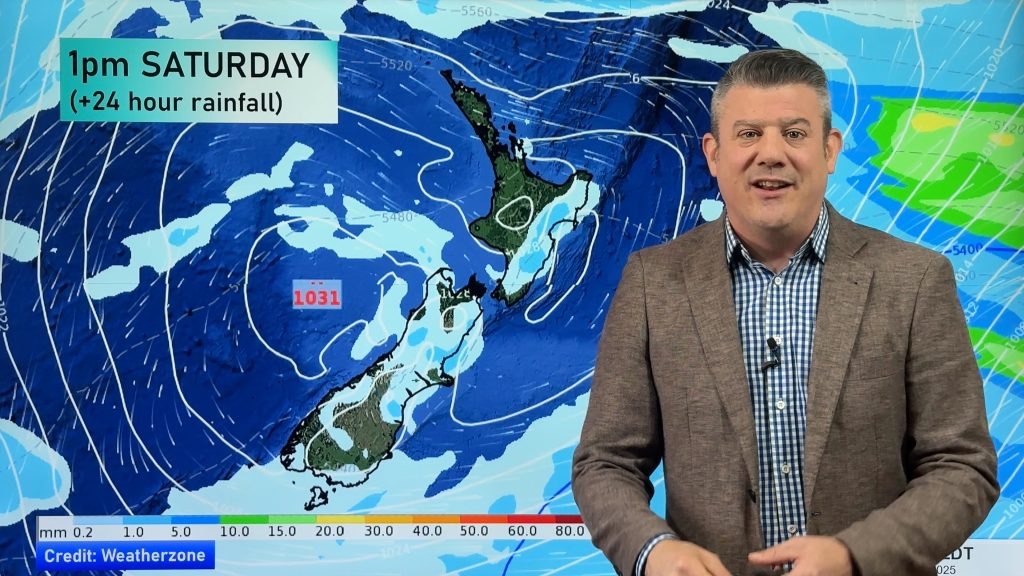
Image – Friday 4pm, 6th January 2017 rain / MSLP map – weathermap.co.nz
Comments
Before you add a new comment, take note this story was published on 5 Jan 2017.


Add new comment