> From the WeatherWatch archives
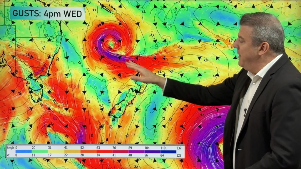
All eyes are on a potential rainmaker straight after the weekend as a long awaited depression bears down on the country.
It’s yet to fully form and much of the energy won’t have developed until Sunday before it nears landfall but when it does some relief could be in the pipeline.
It doesn’t appear to want to hang about for very long but it looks to be the biggest rainmaker and depression to visit our shores so far this year.
As we know things can change and we’re continuing to monitor the situation but at this point we’re seeing it last up to 48 hours over northern and central New Zealand but the far south looks to escape much of the rain and wind.
Heaviest falls appear to be northern and western parts of the country but not overly prolonged however reasonal rainfall totals could eventuate.
“This should put a few smiles over drought hit areas” says weather analyst Richard Green. “We dont think it’s a game breaker necessarily but some solid falls should take place”.
WeatherWatch believes this has the potential to be the wettest system so far for 2013 but it all depends on the timing. If it rolls on through quickly it may not pack the same sort of punch as if it was to stay here for a couple of days.
Winds are set to blow in from the north to north east initially and be quite blustery in exposed areas but by the middle of the week a southerly airflow should be covering much of the country.
Another disturbance could also impact the country later next week with another low late Thursday, Friday and across the early part of Saturday with further rain or showers however perhaps not quite so widespread.
WeatherWatch
Comments
Before you add a new comment, take note this story was published on 12 Apr 2013.


Add new comment
Kieran on 12/04/2013 8:04am
Given the ground’s so dry and there may be some significant rainfall, what’s the likelihood for flooding to eventuate?
Reply
WW Forecast Team on 12/04/2013 9:26pm
There’s always a potential for this but at this point it’s not looking heavy enough over a prolonged period.
Cheers
WW
Reply
surf chch on 12/04/2013 6:46am
hell yea next weekends weather event looks like lots of swell for the new brighton boardriders malfunction which is part of south island surfing circut lots of rain and swell hell yea bring it on mind you hate putting on a wet wetsuit in the rain,but if the waves are that good who cares lol
Reply
David on 12/04/2013 4:04am
Lets hope this low brings a good amount of relief to those who need it.
I see there is another low due later next week too – how does that look WW.
Cheers.
Reply
WW Forecast Team on 12/04/2013 9:28pm
Hi David,
This one at the end of next week has potential to be quite good in terms of rainfall and colder air in the south could bring snow to moderate levels by next weekend.
Cheers
WW
Reply
Mel on 12/04/2013 3:10am
Does it look like we will have much wind in Auckland from this low?
Reply