> From the WeatherWatch archives
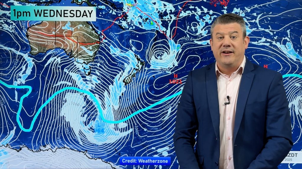
January ends on a fairly dry note – February kicks off wetter. A tropical cyclone is today expected to briefly develop near New Caledonia before weakening again soon after and drifting south into New Zealand on Thursday.
The then ex-tropical low is expected to push rain across a large portion of New Zealand, in particular western and northern regions of both islands. The exact tracking of the low is still uncertain – and it’s important as the bulk of the rain with this system will be nearer to that centre. However as the low reaches New Zealand it will develop into a new system and that could trigger torrential downpours and gusty winds.
Southland, which is basically in a drought, will also get some rain although totals are not yet locked in. The lower South Island has a lot of mountains and ranges which can hugely affect rainfall totals from a rainmaker coming from the western side – so the precise movement of the centre of the low is important to understand. We’ll have a clearer idea in another day or two about this.
This tropical low will have the potential to cause localised flooding in western and northern facing regions of both islands. Winds may also be gale force for a time near the centre, although again it’s hard to lock in when the low will be changing shape when it reaches New Zealand. The main feature from this low looks like heavy rain but damaging winds are definitely possible near the centre – which could impact anywhere from Taranaki southwards, but will likely be localised to various spots. We’ll keep you posted as it becomes clearer.
It should be short lived – most models pick it moving across New Zealand in 24 hours or so.
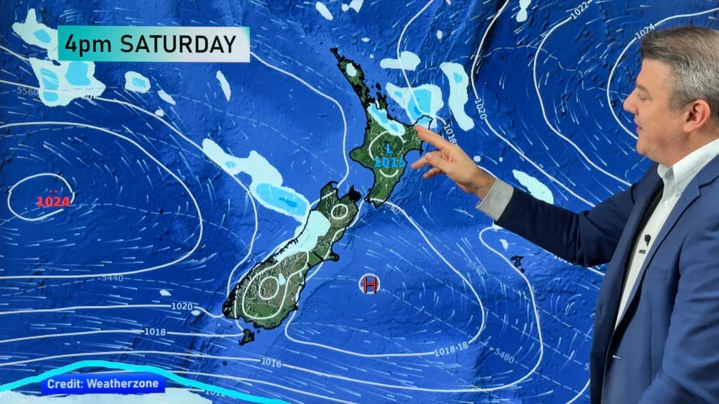
If you hate the humidity there will be some good news – it looks like a more refreshing southerly could be coming in behind it for Friday and the weekend which will definitely be noticeable. However on Thursday humidity levels may reach 100% for some as the tropical rain moves through and combined with heat it will be pretty muggy.
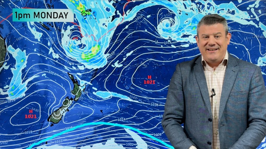
There could be two more tropical storms behind this one – but latest guidance suggests they may slide just east of NZ. If they slide east then New Zealand will miss extreme humidity and stormy weather – but very dangerous beach conditions may then form, even if sunny and calm on land.
New Zealand can be easily protected from tropical lows simply by having a large high over the top of us – or one that is just moving in. However a gap in the high pressure belt can leave us vulnerable – so it’s all down to the high pressure belt in early February to decide whether or not we get just this one tropical low – or a few.
 – Thursday morning shows a very humid wet northerly over much of the country but a cooler southerly coming later. Weathermap.co.nz
– WeatherWatch.co.nz
Comments
Before you add a new comment, take note this story was published on 28 Jan 2018.


Add new comment