> From the WeatherWatch archives
Look for a settled day for almost all of New Zealand today. There is a very small chance for some light showers around Gisborne and Northland today, but it’s most likely to stay dry. Just like the rest of the country.
Tomorrow, look for more of the same. Settled weather is expected across the country.
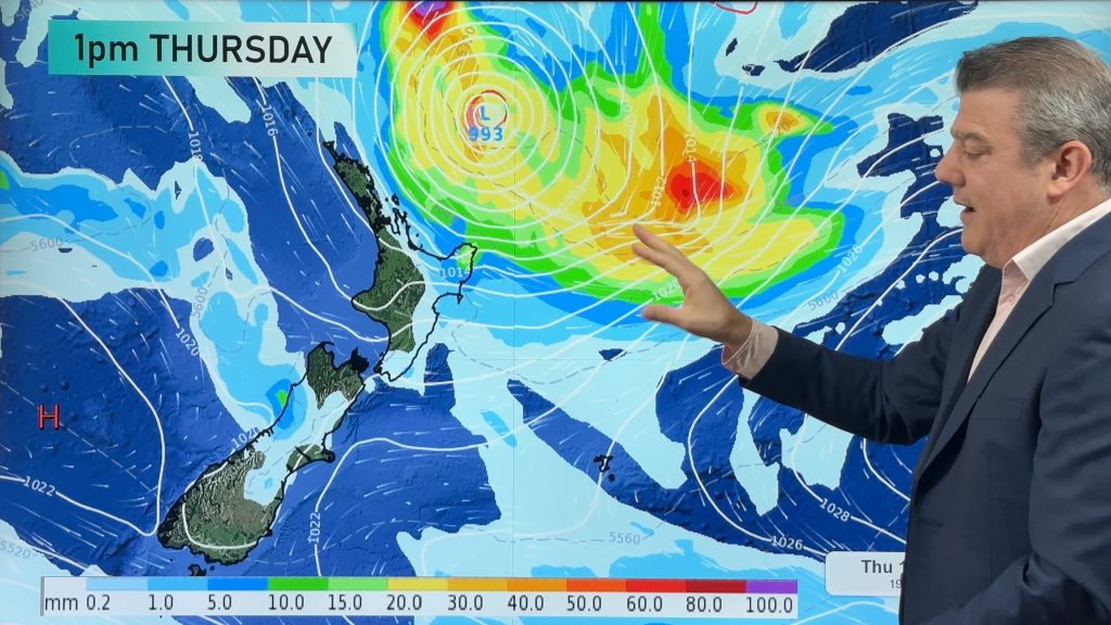
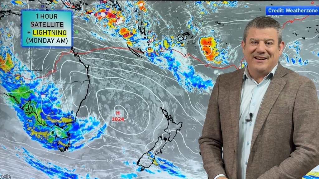
All of this calm and dry weather is thanks to a ridge of high pressure. This ridge is not going to hang around much longer. In fact, by Sunday it should be far enough away to open the door for another Tasmanian low.
But this time, unlike the low from earlier this week, this low is likely to be deeper and more aggressive. In addition, it could affect more of the South Island this time.
Rain is likely to begin to affect parts of both islands starting on Sunday. On the North Island, Northland, the Coromandel Peninsula and Bay of Plenty could see heavy rain. East Cape/Gisborne could also see heavy rain, but probably not until Monday.
Most of the South Island, with the exception of Fiordland should dodge the heavy rain on Sunday. However, on Monday and Tuesday, heavy rain and heavy snow are possible for all but the western and northern regions of the South Island.
The track of the low is still not set yet, so this forecast will likely need to be fine-tuned as we go through the next few days. However, it’s pretty clear that this has the potential to be a significant storm for parts of New Zealand as we wrap up the weekend and head into next week.
Homepage image/ Monday evening weather map from Weathermap.co.nz
-WeatherWatch.co.nz
Comments
Before you add a new comment, take note this story was published on 26 Jul 2012.


Add new comment