NZ VIDEO: Several cold fronts for rest of September – we track the next two fronts
16/09/2025 12:30am

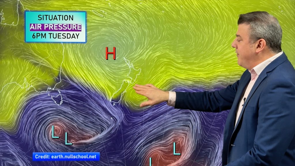
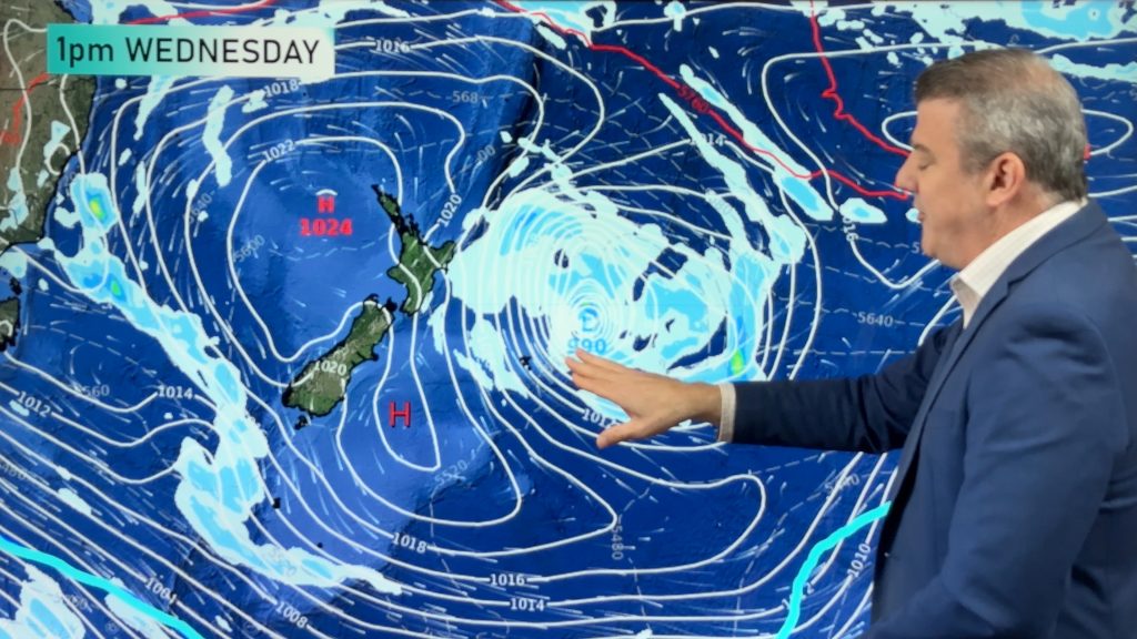
More windy westerlies, sometimes damaging, are on the way as cold fronts with polar air continue to blast over New Zealand.
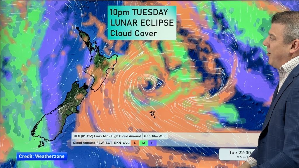
We track the peak winds over the next several days and when the cold fronts arrive.
Much of the rain will be on the West Coast, with some spillover into Southland and also a bit into the east – but generally speaking the east of NZ has the lowest rainfall totals.
There’s even a subtropical flow in the mix for a time too as the classic spring set-up continues. Traditionally mid September to mid October can be the windiest time of the year in New Zealand.


Add new comment
Noel on 16/09/2025 5:53am
Any chance of talking about the Sudden Stratospheric Warming event happening above Antarctica at the moment. Its creating a wobble in the polar vortex and sending these cold tongues of air into the mid latitudes
Reply
WW Forecast Team on 16/09/2025 8:32pm
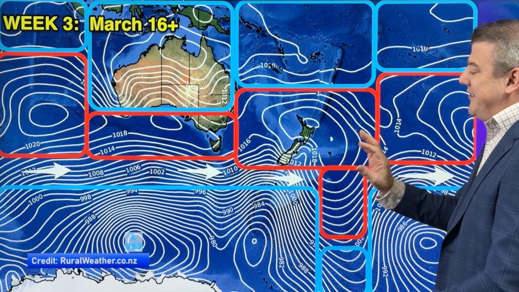
Hi Noel, I’d love to but sadly we don’t have any real info on this, as Niwa (Government Agency) use their public resources to instead fiercely compete against us commercially rather than than provide us with educational information like this, so I don’t have any resources to access. Certainly the Polar Vortex is spending more time over NZ and Australia this winter/spring – in fact next week it may even reach Queensland for a time. The Southern Ocean is often stormy in winter/spring so we look at the Southern Hemisphere and look for areas where that polar boundary is more “loose” and heading northwards – which we highlight in blue in our videos to help visualise it better. Hope that helps – otherwise I suggest you contact Niwa directly, as they will respond to you – they won’t with us. It’s why we use more resources from the much more mature Australia Government (BoM) – as they believe in open data and science being shared to help the public.
Edit: Interestingly someone just sent us a technical link about it which you may find helpful: https://www.youtube.com/watch?v=nBtwLXmRbE8
Cheers
– Phil D
Reply