NZ VIDEO: Gales, isolated thunderstorms, some snow & sunshine too!
28/08/2025 12:05am
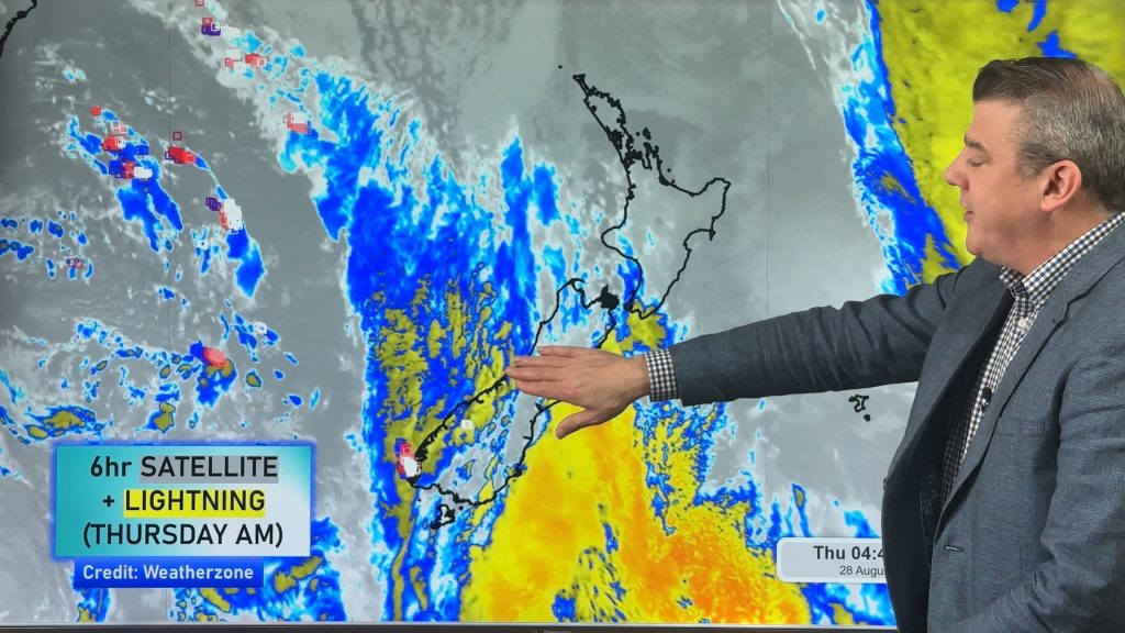
Windy weather is about to be New Zealand’s main weather feature over the weekend and next week. Damaging gales are possible in both main islands along with alpine snow (and maybe a few isolated lower flurries in the lower South Island).
Western wet weather off the Tasman Sea – some heavy falls with isolated thunderstorms too. Eastern areas look driest.
Squally conditions (a burst of wind with a downpour at the same time) are also expected off the Tasman Sea from time to time for western areas.
We have your NZ forecast out to Wednesday of next week, along with extra wind gust maps to make more sense of it all.
Comments
Latest Video
Yes, NZ’s weather is warming back up again
Temperatures lift on Wednesday for many, then further going into Thursday and Friday as subtropical and/or nor’westers return. Cooler southerlies…
Related Articles
Yes, NZ’s weather is warming back up again
Temperatures lift on Wednesday for many, then further going into Thursday and Friday as subtropical and/or nor’westers return. Cooler southerlies…
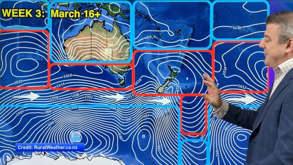
ClimateWatch: MARCH is looking quite orderly to start with
Storms near Antarctica, Autumn’s westerlies building south of Australia & NZ, high pressure again affecting both nations and the tropics…
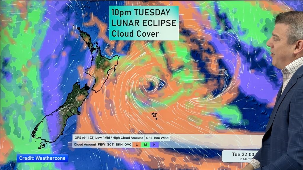
Colder tonight for many, Lunar eclipse Tuesday, high pressure dominates
A lot of low pressure is spinning east of the country while a large high is moving in – this…


Add new comment
josh on 28/08/2025 12:22am
hey team. what are the odds for a damaging squall or tornado with this event coming?
Reply
WW Forecast Team on 28/08/2025 12:26am
Hi Josh, fairly high probably…but so much of western NZ is rural or bush so they don’t always cause damage to property. MetService usually cover these risks in their Thunderstorm Outlooks.
Cheers
Phil
Reply
josh on 28/08/2025 12:38am
thanks. its just there is normally one reported with these sort of setups. especially around taranaki-west coast sth island and auckland,bay of plenty and west Waikato.
Reply