NZ 10 Day Outlook: Autumn weather arrives for early April!
28/03/2025 12:26am

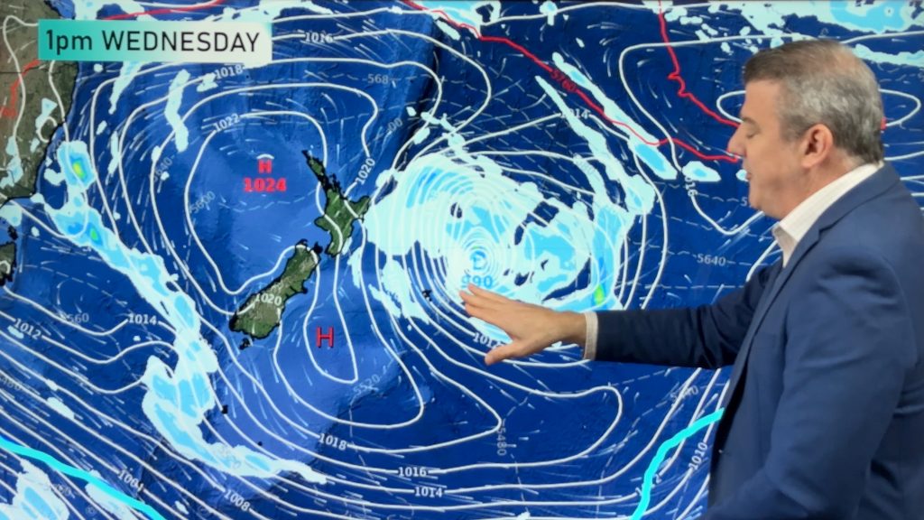
A burst of wind and rain is coming next week to many regions as high pressure finally slips away for a time allowing low pressure, fronts and cooler air to get in the mix.
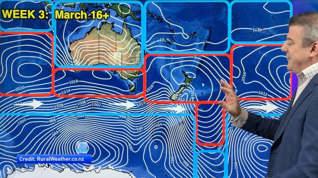
The Southern Ocean is stormier going into April, and high pressure breaks up later next week and going into April’s first week. More high pressure may return after that, but next week is definitely a change to NZ’s weather pattern.
We have a 10 day rainfall map, plus the forecast out to the end of Daylight Saving.
Comments
Latest Video
Yes, NZ’s weather is warming back up again
Temperatures lift on Wednesday for many, then further going into Thursday and Friday as subtropical and/or nor’westers return. Cooler southerlies…
Related Articles
Yes, NZ’s weather is warming back up again
Temperatures lift on Wednesday for many, then further going into Thursday and Friday as subtropical and/or nor’westers return. Cooler southerlies…
ClimateWatch: MARCH is looking quite orderly to start with
Storms near Antarctica, Autumn’s westerlies building south of Australia & NZ, high pressure again affecting both nations and the tropics…
Colder tonight for many, Lunar eclipse Tuesday, high pressure dominates
A lot of low pressure is spinning east of the country while a large high is moving in – this…


Add new comment