> From the WeatherWatch archives
THEN COLD SNAP KICKS IN
+ EASTERLIES FINALLY STOP & MORE WINTER-LIKE WESTERLIES RETURN.
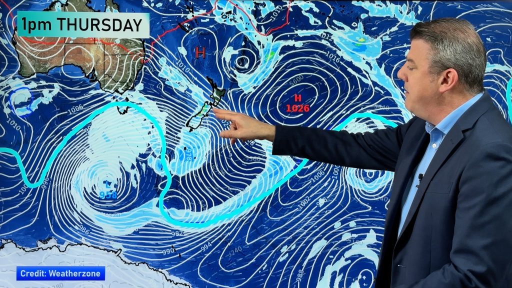
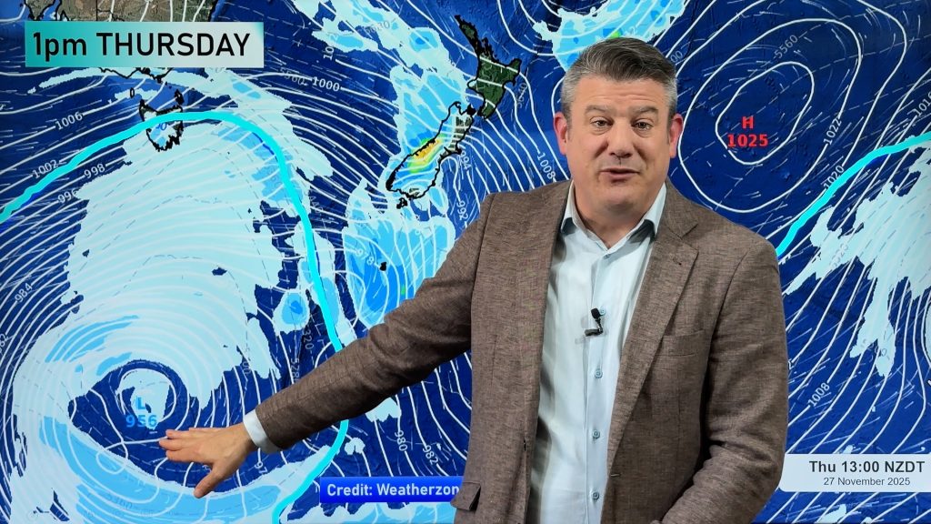
There has been weeks of frosts in the South and weeks of mild rain in the North but conditions are about to change. Yet another large low has rapidly developed in the Tasman bringing fierce conditions to Eastern Australia and the rain from this storm has its sights set on northern and eastern New Zealand. This is about the 6th time this has happened in just over a month.
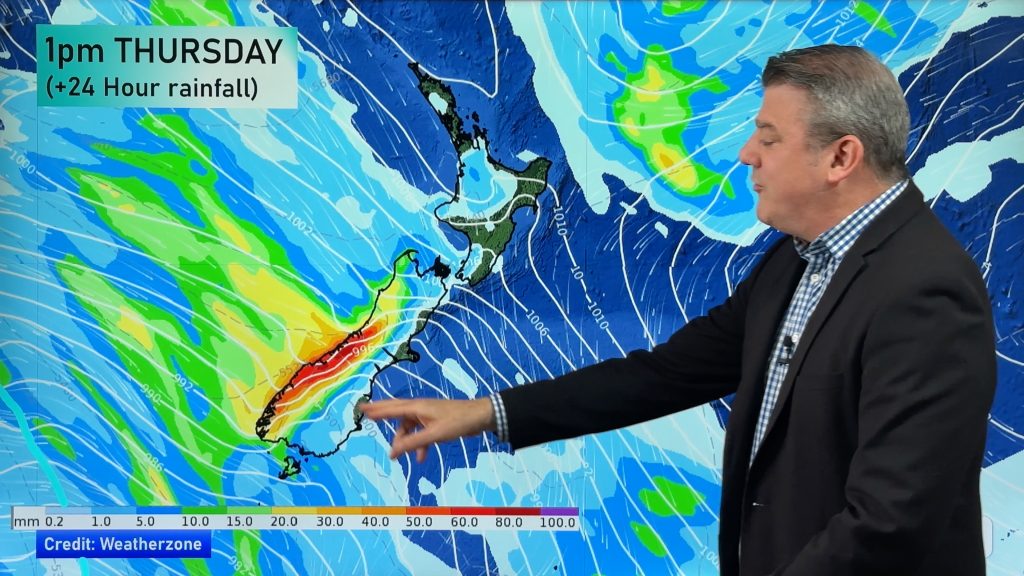
“The showers will start overnight tonight with rain or showers developing Friday from Northland then later spreading down to Hawke’s Bay and Wellington during Saturday” according to the Radio Network’s Head Weather Analyst Philip Duncan. “This rain will be targeting the same areas hit by floods over the past week and a half – Northland and Hawke’s Bay”. Duncan says state owned forecaster MetService is also closely watching the development of this low. “This low seems very unpredictable so it’s very important listeners keep up to date with the latest forecasts”. However forecasters are not expecting a repeat of the severe weather seen over the past 2 weeks. “Both regions should expect short but potentially very heavy showers from this system, which could cause isolated problems”.
Heavy rain is again falling in Napier this morning but forecasters believe the heaviest rain should shift northwards today around the Mahia/Gisborne region leaving only later rain in Napier and Hastings.
But a cold snap following behind this storm, which brought the coldest morning to Sydney in 21 years and snow and frosts to south eastern Australia, looks set to break the frosts in Central and Southern parts of the South Island and finally bring sou’westers back to the North. “Invercargill will get some very cold but windy and wet weather this weekend and that will spread quickly up the country during Saturday and Sunday”.
Weather.com is predicting snow flurries in Waiouru and the Desert Road, during Saturday. TRN’s Weather Watch Centre advises motorists travelling across the Central Plateau this weekend to keep up to date with forecasts.
“After nearly 3 weeks of easterlies the pattern we’ve been stuck in looks set to change after this weekend. That means cooler, showery more winter-like weather for the North Island and more frost breaking winds over the South”.
And Duncan says there is some good news. “A high should spread drying conditions over the North Island by early next week while west or north west winds in the South could bringing some slightly warmer temperatures, breaking the frosts…hopefully a real flip of the weather patterns for both islands”. He says the high in the Tasman following this weekends low should also act as a “lid” limiting the development of further deep lows in the area for a week or so.
WEATHER NEWS HEADLINES:
– Very windy and cold conditions across eastern Australia. Sydney still matching or well below Auckland’s temperatures.
– Heavy snow for ski fields in both Islands this weekend.
– Apologies for no rain updates from the Weather Watch Centre in Napier/Hawke’s Bay over the past two days. (due to an unwell weather man!)
‘WEATHER’ YOU’RE INTERESTED
“If God had meant Wimbledon to be played in great weather, he would’ve put it in Acapulco” – British Tennis Official
Comments
Before you add a new comment, take note this story was published on 18 Jul 2007.


Add new comment