> From the WeatherWatch archives
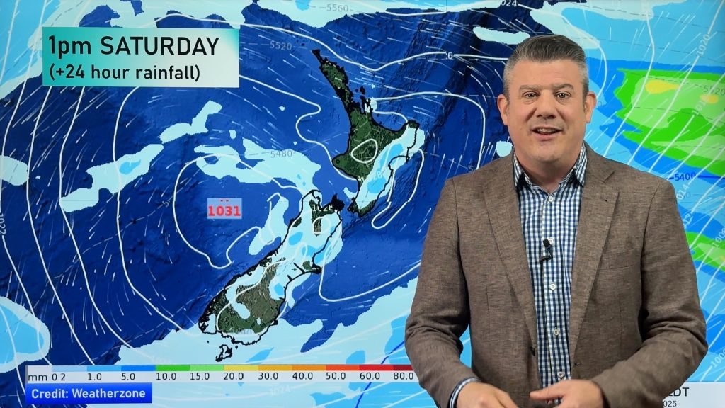
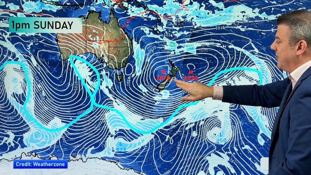
A ridge of high pressure lies over the South Island today meanwhile expect a south to southeasterly airflow for the North Island, easing later in the day.
North Island
Expect some cloud for Northland especially in the west where there may even be a light shower or two, winds from the southwest. Auckland sees the risk of an early shower then mostly sunny weather with southwesterlies. The Waikato and Bay Of Plenty have a mainly sunny day after any morning cloud clears. Rain for the eastern North Island (Gisborne to Wairarapa) with a chance of heavy falls for the Wairarapa this morning then easing to showers from midday, cool southerlies.
Morning showers for Wellington and also coastal fringes from Kapiti up to southern Taranaki then sun breaking through from afternoon, cool southerlies. The odd shower spills into Manawatu at times from the east although increasing dry areas from afternoon. Northern parts of Taranaki have a mainly sunny day.
South Island
Mostly sunny and settled however there are a few notes. Banks Peninsula through to Marlborough could see a morning shower or two about the coast then clearing, high cloud increases at the other end of the Island from afternoon. Fiordland and Southland sees a few showers or spots of rain from late afternoon / evening as a northerly airflow increases.
Temperatures
Temperatures in the high teens or early twenties for the upper North Island, mid to high teens elsewhere for the rest of the country.
WeatherWatch.co.nz
Comments
Before you add a new comment, take note this story was published on 7 Apr 2019.


Add new comment