> From the WeatherWatch archives
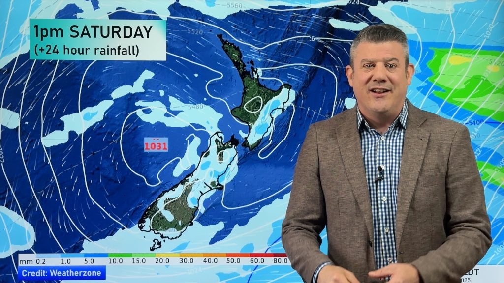
An area of low pressure slowly moves over the lower South Island during today, meanwhile a series of fronts pass over the country moving in from the west.
Northland, Auckland, Waikato, Bay Of Plenty & Central North Island
Apart from any early rain Northland sees morning cloud break to mostly sunny weather, winds are mostly light from the north. Morning rain for Auckland then sunny areas break through from afternoon, northerly winds. Morning rain for the Waikato, Central North Island and Bay Of Plenty may be heavy then easing to showers in the afternoon and generally clearing in the evening. The Bay Of Plenty especially in the east may not see rain clearing till overnight, breezy north to northeasterly winds gradually ease during the day.
Highs: 16-19
Western North Island and East Coast
A mix of showers and sunny / dry spells for the western North Island (Taranaki southwards). Breezy northerlies easing during the day. Mostly cloudy along the east coast with some rain at times, dry periods also. Breezy north to northeasterly winds.
Highs: 15-18
Wellington
Morning rain ease to the odd shower, breezy Northerly winds.
Highs: 15-18
Nelson & West Coast
Morning rain about Nelson and along the West Coast may be heavy then easing to showers in the afternoon as breezy northerlies tend northwest.
Highs: 14-16
Marlborough, Canterbury, Southland & Otago
Any morning rain clears then sunny areas develop, breezy northeasterlies tend northwest in the afternoon. Some rain moves into Southland again during the evening as southerlies freshen.
Highs: 12-16
WeatherWatch.co.nz
Comments
Before you add a new comment, take note this story was published on 27 Aug 2017.


Add new comment