> From the WeatherWatch archives
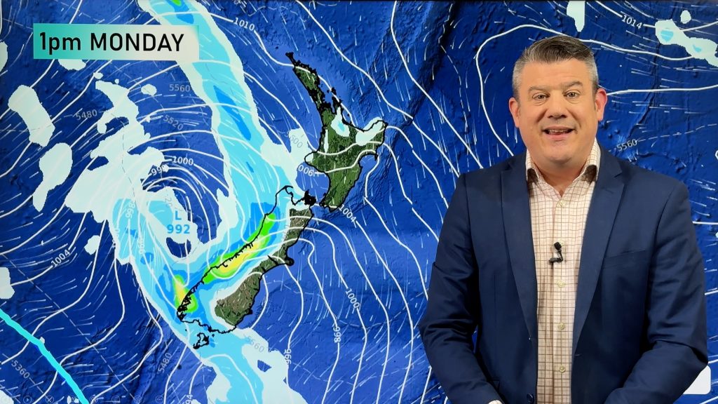
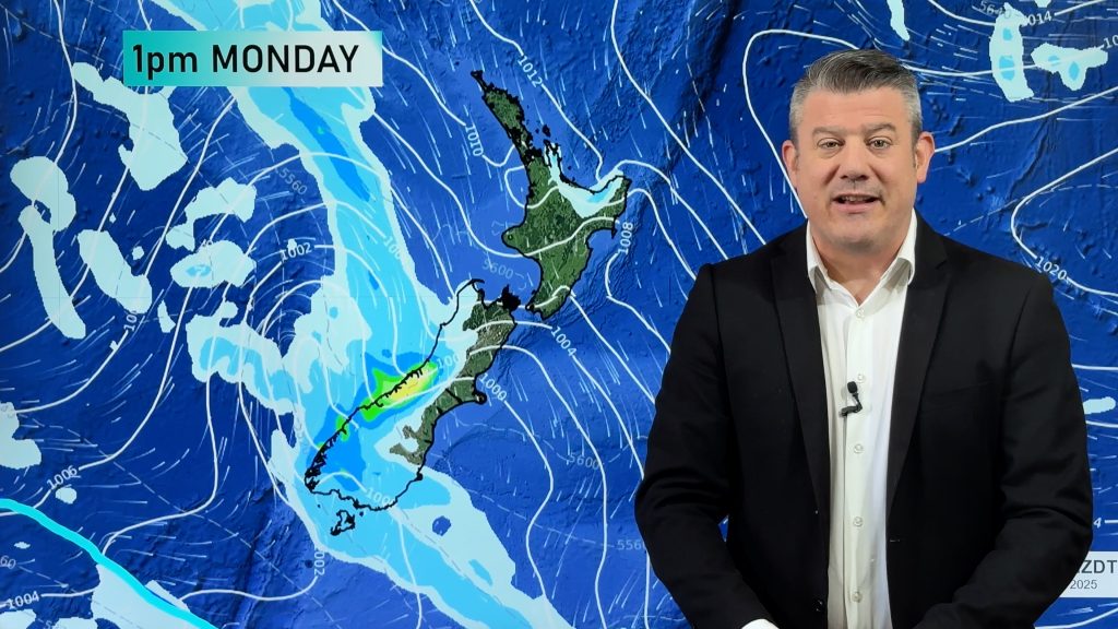
An anticyclone lies over the North Island today while a northwesterly airflow sits over the South Island ahead of a front in the Tasman Sea. This front moves onto South Westland this afternoon then gradually pushing further northwards.
Northland, Auckland, Waikato & Bay Of Plenty
Fairly cloudy, some sun possible at times Auckland northwards. Light winds.
Highs: 17-19
Western North Island (including Central North Island)
Cloudy areas with west to northwesterly winds, there may be a brief light shower or two about otherwise mainly dry.
Highs: 15-17
Eastern North Island
Any morning cloud breaking to mostly sunny weather, light winds.
Highs: 17-18
Wellington
Cloudy areas with north to northwesterly winds freshening.
High: 16
Marlborough & Nelson
Sunny with afternoon northwesterlies.
High: 16-18
Canterbury
Mostly sunny after any morning cloud breaks away, light winds.
Highs: 16-17
West Coast
Mostly cloudy, the odd shower possible. Rain moves into South Westland during the afternoon then North Westland in the evening. North to northeasterly winds.
Highs: 15-16
Southland & Otago
Mostly sunny with some high cloud, chance spot of rain in the evening otherwise dry. Light north to northeasterly winds.
Highs: 15-16
By Weather Analyst Aaron Wilkinson – WeatherWatch.co.nz
Comments
Before you add a new comment, take note this story was published on 7 May 2017.


Add new comment