Milder weather as easterlies kick off the week and ends with westerlies
10/06/2018 8:23pm

> From the WeatherWatch archives
Milder than usual weather will continue for another several days for many regions as we have a lack of southerlies this week and instead kick off with a small sub-tropical low and easterlies, then switch around to mild west to north west winds later in the week and into this coming weekend.
The air flows will keep frosts away for many. For example Fieldays is on at Mystery Creek near Hamilton this week and overnight lows will be between 7 and 12 degrees with daytime highs up around 16 degrees. Fairly mild for mid June in Waikato.
At the other end of the country, around Otago, overnight lows hover near freezing or above it … quite a difference from the -7C some areas had last week. Further north in to Christchurch and the week looks frost free also with the lowest overnight low this week being +6 degrees around mid to alte week.
So when is our next cold blast of air? At this stage Monday one week from now comes in the next polar southerly, but early indications are that it will swing more sou’west by next Tuesday which will remove the coldest portion of this air over New Zealand and make it less severe.

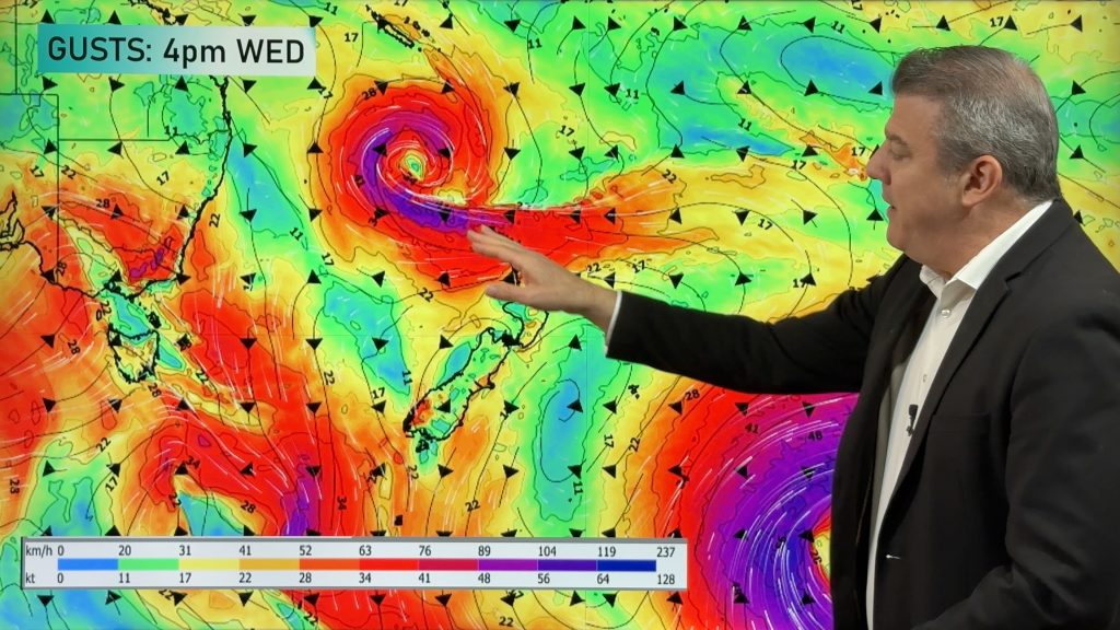
– Rain & air pressure map for Noon Tuesday (tomorrow) showing the weak sub-tropical low moving into the North Island with patchy rain and easterly quarter winds though central areas. Map by Weathermap.co.nz
– WeatherWatch.co.nz
Comments
Before you add a new comment, take note this story was published on 10 Jun 2018.
Latest Video

NZ 8 Day: High pressure to return, also monitoring tropics next week
A cooler change is moving into NZ tonight and Saturday then winds ease further on Sunday as high pressure starts…
Related Articles
NZ 8 Day: High pressure to return, also monitoring tropics next week
A cooler change is moving into NZ tonight and Saturday then winds ease further on Sunday as high pressure starts…

Unsettled Thu/Fri, high pressure returns this weekend & next week
Wind and some wet weather is moving into both ends of NZ today and tomorrow bringing broken up rain bands…
Subtropical low, windy for some, then high pressure slowly returns
It’s cloudy and windy for parts of New Zealand today with the North Island especially gloomy under cloud associated with…


Add new comment