> From the WeatherWatch archives
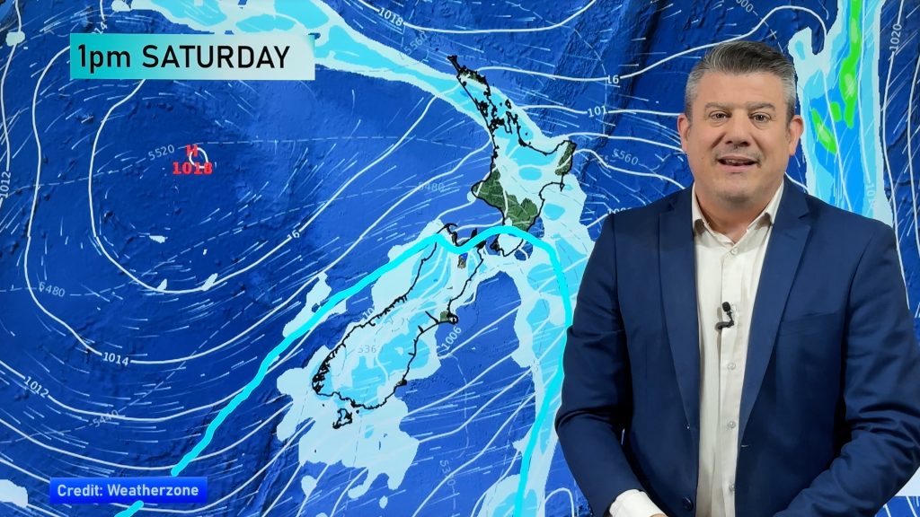
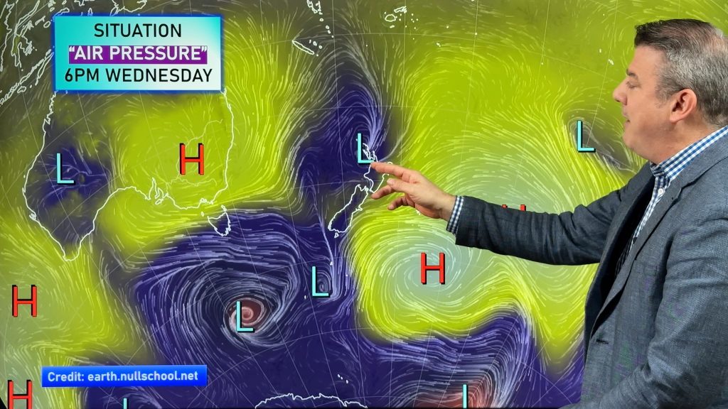
A large anticyclone – or high pressure system – is moving towards New Zealand and will dominate our weather for the rest of March and into the start of April forecasts WeatherWatch.co.nz.
The high, which is coming from south of Australia, looks set to lock in more cool mornings, warm afternoons and little in the way of rain.
Waikato and Manawatu are two of the nations drier than normal regions right now – with little in the way of wet stuff forecast for them. Western Northland, parts of Auckland, Wanganui and King Country are also very dry.
“There’s basically a line from western Northland down to Manawatu that is fairly to very dry” says head weather analyst Philip Duncan. “Many of these areas missed out on rain from ex-cyclone Lusi and have been dry since the end of 2013. Any showers have dried up from the heat or evaporated from the wind. It’s tough going for a number of dairy farmers and gardeners”.
Mr Duncan says last year it was the month of April that saw a significant change from dry to wet. “Many are asking if that will happen again this year and we hope to have a better idea in the coming week”.
WeatherWatch.co.nz says wetter weather does usually arrive in New Zealand during the months of April and May.
– WeatherWatch.co.nz
Are conditions drier this year than last where you are? Let us know!
Comments
Before you add a new comment, take note this story was published on 26 Mar 2014.


Add new comment
sw on 25/03/2014 6:19pm
No not now.
Reply