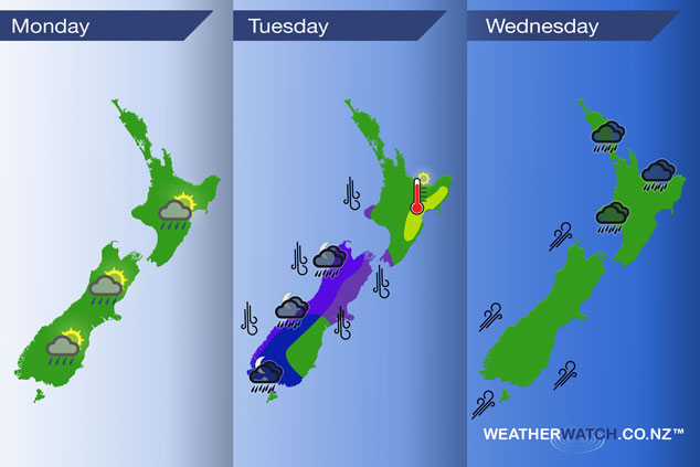
InfoGraphic: The Main Weather News Highlights across NZ: Mon, Tue, Wed
5/11/2017 6:00pm

> From the WeatherWatch archives
A high in the Tasman Sea directs a southwesterly airflow over New Zealand today. A northerly airflow increases on Tuesday ahead of a deep intense low which moves over the South Island later in the day, the flow changes to the southwest on Wednesday.
Monday
No major points regarding the weather today, an isolated shower or two may pop up for eastern parts of the country this afternoon. Mainly for inland areas then clearing in the evening.
Tuesday
Blue – Heavy rain moves onto the West Coast of the South Island from late afternoon or evening. Rain may become torrential then easing overnight. Rain may be heavy for a time about Southland and Central Otago overnight also.
Purple – Northerlies strengthen over many parts of the South Island especially from late afternoon or evening where winds may rise to gale especially about the upper South Island and through Cook Strait.
Yellow – Temperatures reaching into the low to mid twenties in the afternoon for the eastern North Island.
Wednesday
Rain passing through the upper / western North Island may be heavy in the morning however quickly easing by midday. Southwesterly winds gusty for many coastal parts of the South Island in the morning then easing.
– Please note, the idea behind this update is to focus on the main weather highlights, which is why not all regions are mentioned.
For specific 10 day information for your city, town, rural community or island please see the 1500 forecasts on our homepage!
– Aaron Wilkinson, WeatherWatch.co.nz
Comments
Before you add a new comment, take note this story was published on 5 Nov 2017.
Latest Video

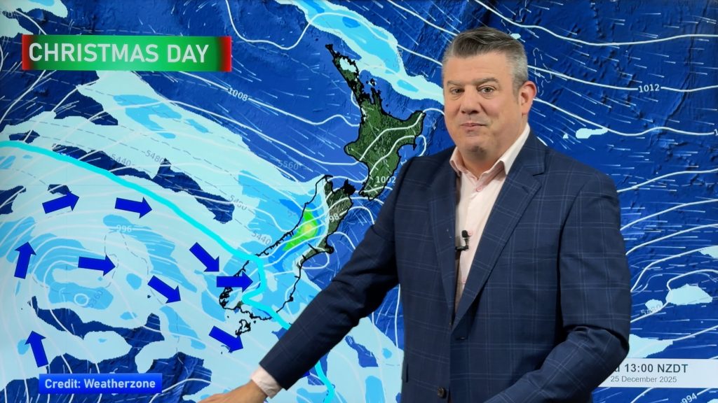
Weather for Christmas & NYE: The good, the bad and the ugly…
Low pressure, windy weather, hot and cold – it’s all in the mix over the coming days, bringing both hot…
Related Articles
Weather for Christmas & NYE: The good, the bad and the ugly…
Low pressure, windy weather, hot and cold – it’s all in the mix over the coming days, bringing both hot…
Santa Tracker 2025
Track Santa’s progress this Christmas Eve with the 2025 WeatherWatch Santa Tracker! We expect Santa to show up some time…
Latest Christmas forecast + New Year’s Eve outlook
We have an extended forecast covering the rest of 2025 as a cold change looks set to kick in from…


Add new comment