> From the WeatherWatch archives
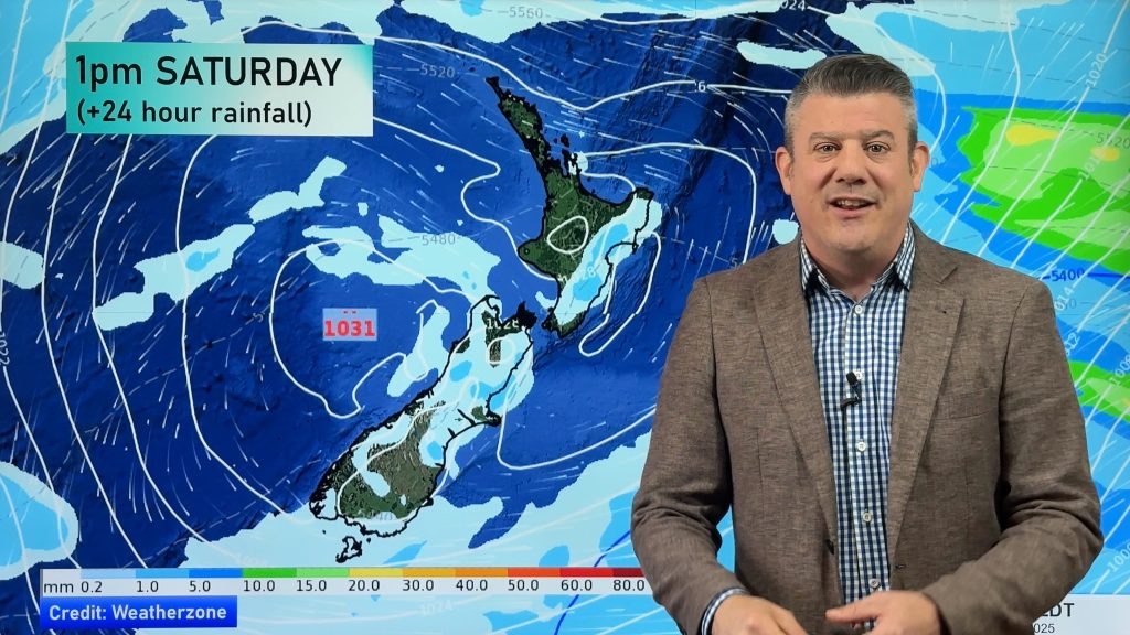
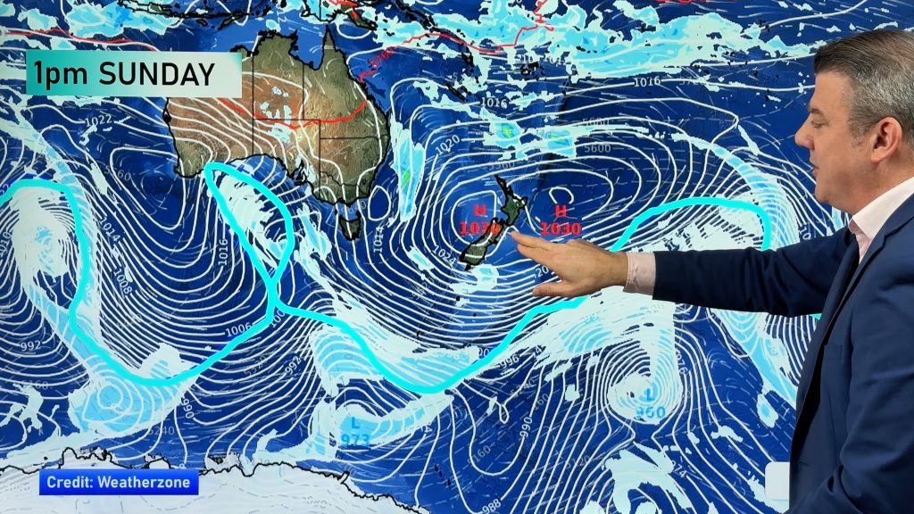
An anticyclone brings mainly settled weather to the South Island on Tuesday, a southerly airflow over the North Island ease during the day.
Mainly sunny with light southerly quarter winds for the upper North Island. A few morning showers about the Coromandel and Great Barrier Island clear away. Low risk of an isolated shower in the afternoon for Northland.
Mainly sunny about the lower western North Island with south to southeasterly winds, some cloud closer to the ranges in the east. Sunny spells along the east coast with southwesterly winds, cloud thickens up in the afternoon as winds tend a little more southerly bringing the chance of a light shower or two. Cloud then breaks away overnight.
Any early showers clear Wellington then sunny areas increase from morning, southerlies ease during the day.
Sunny with light winds for Nelson and Marlborough, a touch of cloud about Tasman. Mainly sunny for Canterbury, light east to northeasterly winds in the afternoon. Sunny along the West Coast and about Southland / Otago with light winds. Just a little cloud possible about coastal fringes of Southland in the morning in a westerly flow.
Blue – Heavy form of precipitation or cold temperatures, typically below 1 to 2 degrees celsius.
White – Snow
Purple – Strong winds.
Yellow – Temperatures around the mid 20 degree mark or over.

Not all regions and towns have been mentioned above. For specific 10 day information for your city, town, rural community or island please see the 1500 forecasts on our homepage!
– Aaron Wilkinson, WeatherWatch.co.nz
Comments
Before you add a new comment, take note this story was published on 21 Aug 2017.


Add new comment