> From the WeatherWatch archives
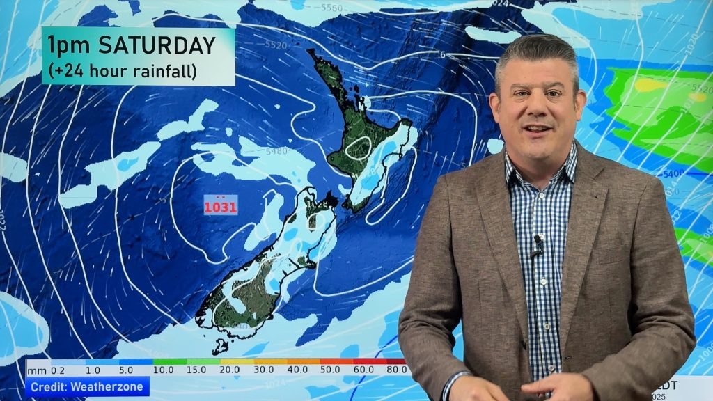
A northerly airflow lies over the North Island on Friday while northwesterlies cover the South Island.
A mix of sun and cloud for the upper North Island, a chance of early fog about the Waikato. Low risk of a brief isolated shower or two in the afternoon otherwise mainly dry. Light east to northeasterly winds.
Mostly sunny for the lower western North Island, a chance of low cloud or fog to start the day, fog more likely about the Central North Island. Light west to northwesterly winds. Sunny along the east coast with afternoon east to northeasterly winds.
Cloudy areas and occasional sun for Wellington with breezy northwesterly winds.
Mostly sunny about Nelson and Marlborough with north to northwesterly winds, a warm afternoon for Marlborough. Mainly sunny about Canterbury with some high cloud, light north to northwesterly winds.
Cloudy areas with the odd light shower possible along the West Coast, some rain for Fiordland. Northeasterly winds. Plenty of high cloud about Southland and Otago, some sun may break through at times. Chance spot of rain also otherwise mainly dry. Northerly winds.
Blue – Heavy form of precipitation or cold temperatures, typically below 1 to 2 degrees celsius.
White – Snow
Purple – Strong winds.
Yellow – Temperatures around the mid 20 degree mark or over.

Not all regions and towns have been mentioned above. For specific 10 day information for your city, town, rural community or island please see the 1500 forecasts on our homepage!
– Aaron Wilkinson, WeatherWatch.co.nz
Comments
Before you add a new comment, take note this story was published on 24 Aug 2017.


Add new comment