InfoGraphic: The Big Picture for Saturday / Sunday
5/04/2019 3:30am

> From the WeatherWatch archives
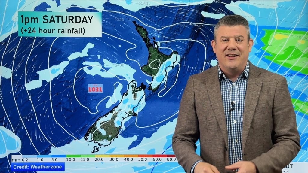
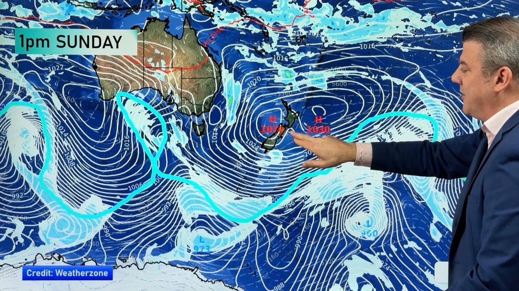
An anticyclone covers the South Island on Saturday, expect southeasterlies further north. Still quite anticyclonic for the South Island on Sunday but some models are hinting at an easterly surge which could bring rain to the South Island’s northeast.
Showers for the eastern North Island and Northland on Saturday, sunny spells elsewhere. The South Island is more settled however there could be a morning shower or two Banks Peninsula northwards in the east. A bit chilly to start for inland areas with the risk of a light frost.
Showers for the easter North Island on Sunday, mainly dry elsewhere with showers possible for western Northland later in the day. The South Island is more settled however some models are hinting at some rain for Marlborough and perhaps North Canterbury which is contradictory to the maps below, just something to be aware of.

By Weather Analyst Aaron Wilkinson – WeatherWatch.co.nz
Comments
Before you add a new comment, take note this story was published on 5 Apr 2019.


Add new comment