High pressure dominates NZ’s big dry, low possible Monday (+3 Maps)
10/02/2025 11:19pm

> From the WeatherWatch archives
Pasture and lawns are dying, plants are wilting (even our native bush) as parts of NZ inch closer to drought conditions due to extra dry weather lingering. For many the dry comes with heat too, with daytime temperatures in the upper 20s or lower 30s, even with the cooler change for some today.
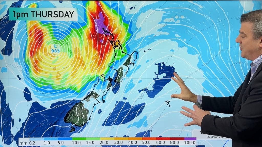
High pressure is dominating the NZ area and despite a lot of tropical energy these rainmakers are struggling to track south. A number of tropical lows, some close to cyclone strength, are at times forming north of the country. Tropical lows often eventually end up tracking southwards when given the chance – but the high pressure zones in the NZ area cause these lows to sometimes bounce off them, like a puck on an air hockey table. Other times these lows are shredded by high pressure wind shear, which is a bit like the slow motion throwing of a water balloon at a buzz saw and watching it be shredded.
The best chance for a low pressure zone with rain to move into NZ is when we are in between high pressure systems – and that chance looks to be Monday next week. Despite the low, this may not prove to be the breaker of the “big dry”, but it will bring some further pockets of relief after more dry weather dominates NZ for the rest of this week and most of this coming weekend. This will be after today’s (Tuesday) showers clear. Showers today may be heavy with isolated thunderstorms- as we’ve seen off and on since Friday last week, mainly over inland North Island. These afternoon and evening downpours can bring significant relief – but are hit and miss and isolated for the most part. The chance of them happening lowers as well in the days ahead, once we get through today.
The drier than average weather looks to return after next week’s low too – as another summer high comes in.
We’ll have more details about rainfall potential in our next weather video – out tomorrow (Wednesday).
*Programming Note: We have no weather video today, Tuesday Feb 11.

Rainfall maps below are powered by Weatherzone

- WeatherWatch.co.nz
Comments
Before you add a new comment, take note this story was published on 10 Feb 2025.
Latest Video

Update on severe weather around NZ as storm moves in + outlook for next week
Heavy rain and damaging wind gusts are forecast today, tonight and into Friday across parts of New Zealand as a…
Related Articles
Update on severe weather around NZ as storm moves in + outlook for next week
Heavy rain and damaging wind gusts are forecast today, tonight and into Friday across parts of New Zealand as a…

Subtropical storm moving in, gales and some heavy rain, especially Thu/Fri
Heavy rain and gale winds will slowly move down the country over the next 24 to 36 hours a subtropical…
Tropical storm to bring severe weather to NZ, gales & heavy rain
A tropical cyclone is today leaving the tropics and will grow into a larger storm system for a time in…


Add new comment
Millsy on 11/02/2025 4:55am
About bloody time we had some decent weather.
Reply
david benton on 10/02/2025 11:31pm
This makes me want to throw a water balloon at a buzz saw.
Definitely getting very dry,ground is like concrete.
Reply