> From the WeatherWatch archives
Localised risk of flash & surface flooding
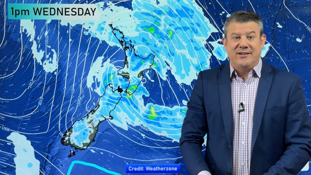
A LOW in the Tasman Sea is closing in on northern New Zealand and with it there are thunderstorms and heavy showers.
The Radio Network’s Head Weather Analyst Philip Duncan warns the low could produce weather violent enough to cause flash and surface flooding. “The low itself isn’t especially nasty but the conditions are favourable for localised thundery falls. The air is unstable and with plenty of warm and cold air mixing the clouds can grow quite quickly causing heavy downpours”.
Duncan says there’ll be sunny spells in between and not everyone will get thunder. “This is not one big rain band moving in, just plenty of large showers”. He says within these large showers there will be pockets of very heavy rain and thunderstorms. “They’ll be slow moving but can develop very quickly. They could also make driving extremely hazardous”.
Most at risk are those regions north of South Waikato and Central Plateau, especially Auckland and Northland.
The centre of the low is expected to spiral just north of Auckland during tomorrow morning, moving offshore in the afternoon and evening.
The Government is also issuing thunderstorm watches for northern New Zealand, predicting a high risk for thunderstorms in the same regions stated above, but a moderate risk of severe thunderstorms for Wellsford/Warkworth area down through eastern Auckland and into central Waikato.
Comments
Before you add a new comment, take note this story was published on 23 Sep 2007.


Add new comment