Friday’s national forecast – Heavy rain in the north
26/01/2023 11:00am

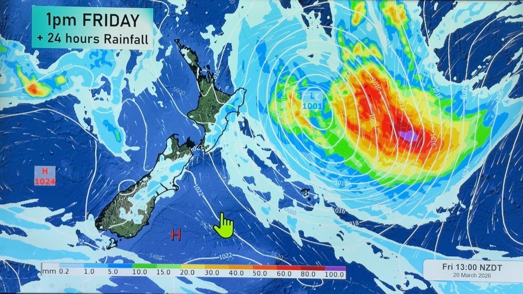
> From the WeatherWatch archives
Rain spreads down south over the North Island today thanks to a series of fronts being spun out of a low to the northwest. Meanwhile a cold front pushes northwards over the South Island.
Northland, Auckland, Waikato & Bay Of Plenty
Rain with heavy falls possible, especially north of the Waikato. Northland may see thunderstorms. Brisk to strong northeast winds.
Highs: 21-23
Western North Island (including Central North Island)
Thickening cloud, showers about Taranaki spread elsewhere in the afternoon then widespread rain in the evening with heavy falls possible. Easterly winds.
Highs: 20-25
Eastern North Island
Morning sun possible then cloud thickens, some scattered rain develops in the afternoon. Rain may become heavy for Wairarapa. Northeasterly winds.
Highs: 22-26
Wellington
Thickening high cloud, rain develops mid to late afternoon. Northerlies change to the south overnight.
Highs: 23-26
Marlborough & Nelson
Sun and increasing cloud, a few spits or showers possible overnight as a southerly change moves through. During the day Farewell Spit and the outer Sounds may see some rain.
Highs: 23-26
Canterbury
Morning sun possible then southerlies freshen in the afternoon with increasing cloud, showers move northwards also. One or two showers may be heavy about South Canterbury with the change, easing overnight.
Highs: 24-29
West Coast
Rain south of about Hokitika, clearing up in the afternoon then sun breaks through. Further north expect sun and increasing high cloud. Light winds tend to the southwest in the afternoon.
Highs: 21-27
Southland & Otago
Rain spreads northwards during the morning, clearing in the afternoon from the south then sun breaking through. Southwesterly winds die out at night.
Highs: 19-25
Comments
Before you add a new comment, take note this story was published on 26 Jan 2023.
Latest Video

High pressure grows, but a stormy end to next week possible
A settled weekend is on the way and apart from a few isolated showers in both main islands many regions…
Related Articles
High pressure grows, but a stormy end to next week possible
A settled weekend is on the way and apart from a few isolated showers in both main islands many regions…

A tropical low next week *might* affect NZ
It’s not locked in yet, but a tropical storm may end up drifting southwards towards NZ about one week from…
NZ 9 Day: Two subtropical lows, but a lot of dry weather
In our extended outlook today we track two subtropical storms, one that will likely miss most of NZ while the…


Add new comment