> From the WeatherWatch archives
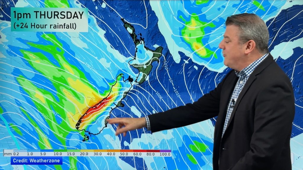
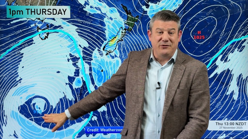
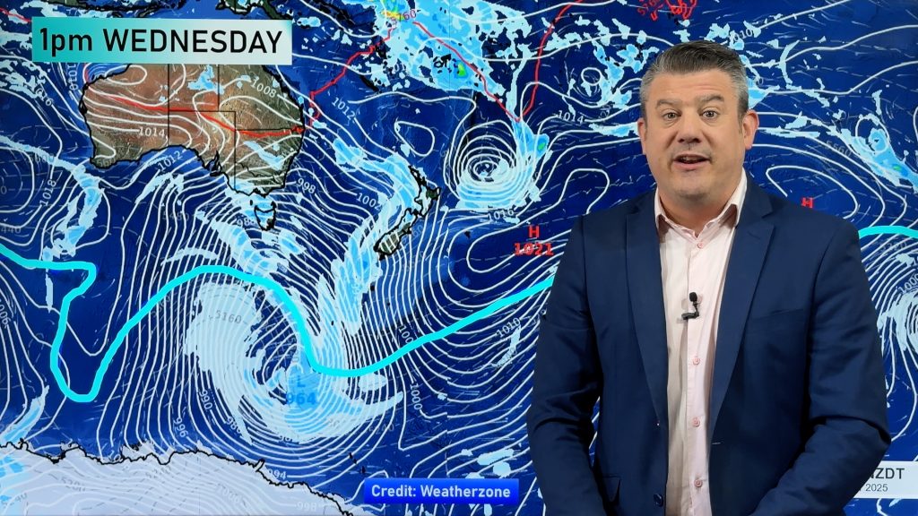
A strong northwesterly airflow lies over the country today with a front moving over the South Island this morning and afternoon then onto the lower North Island later this evening / overnight.
Northland, Auckland, Waikato & Bay Of Plenty
Some morning sun for Northland and Auckland then cloud increases after midday with the odd shower possible, cloudier skies further south with the odd patchy shower from afternoon. Northerly winds.
Highs: 21-24
Western North Island (including Central North Island)
Mostly cloudy with breezy north to northwesterly winds, the odd shower or two possible especially evening on wards. The Taranaki and Central North Island regions may have areas of drizzle from morning.
Highs: 19-25
Eastern North Island
Mostly sunny with some high cloud spreading north during the day, northwesterly winds strong about the Wairarapa and gusty elsewhere from afternoon.
Highs: 26-29
Wellington
Fairly cloudy with strong to gale Nor’West winds, the odd shower then some evening rain.
High: 18
Marlborough & Nelson
Cloudy skies with strong northwesterly winds, gusting up to gale about Marlborough. A few spells of rain from afternoon then clearing in the evening. Winds ease later in the day.
Highs: 20-24
Canterbury
Thick high cloud with breezy northerly winds, strong to gale about inland areas in the morning. A southerly change around late morning and into the afternoon brings some rain for a time.
Highs: 21-24
West Coast
Heavy rain and possible thunderstorms, strong north to northwesterly winds then easing to showers during the afternoon with a southwest change. Showers clearing for most in the evening.
Highs: 15-16
Southland & Otago
Early rain eases to occasional showers, some may be heavy with a chance of thunderstorms and hail in the afternoon / evening for Southland and coastal Otago then easing later on. Gusty westerly winds.
Highs: 14-15
By Weather Analyst Aaron Wilkinson – WeatherWatch.co.nz
Comments
Before you add a new comment, take note this story was published on 26 Nov 2015.


Add new comment