> From the WeatherWatch archives
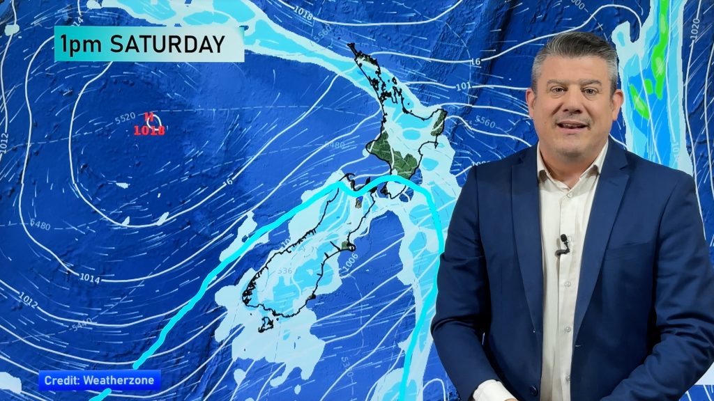
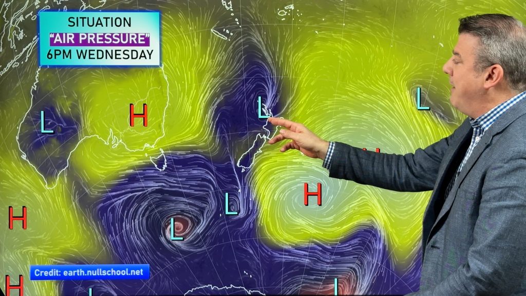
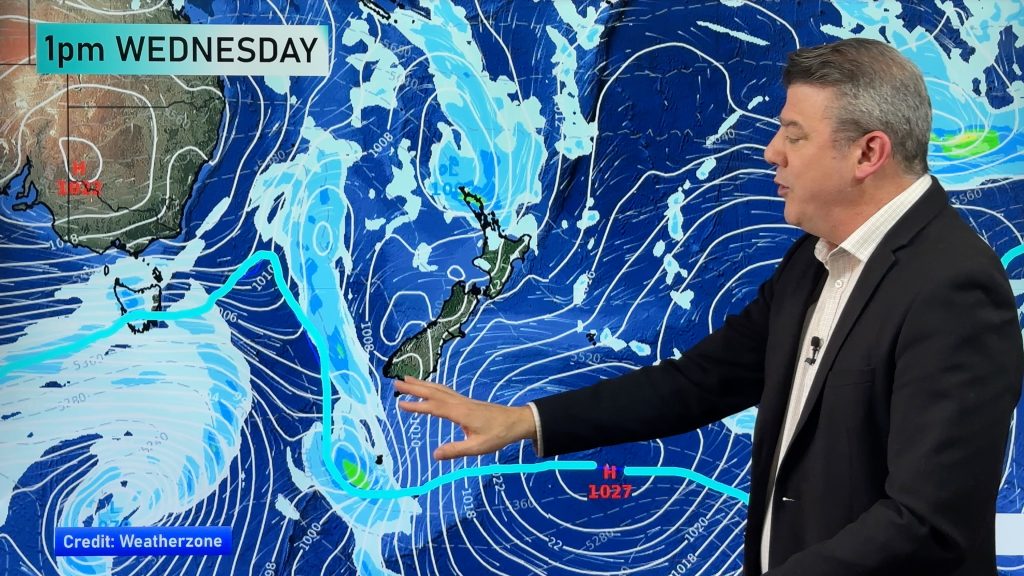
A front moves over the North Island this morning then off to the northeast this afternoon, meanwhile a cold southwesterly change pushes onto the lower South Island this afternoon.
Northland, Auckland, Waikato & Bay Of Plenty
Morning rain with the chance of a heavy fall then easing to showers which mostly clear in the afternoon, sunny areas break through after midday. Northwesterly winds change westerly by midday.
Highs: 17-18
Western North Island (including Central North Island)
Early rain (which may be heavy about Taranaki in the north) eases to the odd shower as northwesterly winds change westerly, a mainly cloudy day.
Highs: 15-16
Eastern North Island
Morning high cloud with a few spots of rain then becoming mainly sunny by afternoon, winds breezy from the west or northwest.
Highs: 20-22
Wellington
Any early showers clear then becoming mostly sunny, breezy northwesterly winds.
High: 15
Marlborough & Nelson
Mainly sunny weather with breezy northwesterly winds, easing later in the evening. Cloud a little more frequent about Nelson during the day.
Highs: 16-20
Canterbury
Sunny areas and some cloud, late afternoon or early evening rain moves into South Canterbury on a southwest change then moving further north later in the day.
Highs: 16-17
West Coast
Some morning rain then easing to the odd shower by midday. Showers mostly clearing by the time evening comes around but overnight a few brief showers may move through again. Westerlies tending southerly later in the day.
High: 13
Southland & Otago
The odd shower then some afternoon rain as northwesterly winds change cold southwest. Rain eases back to showers in the evening. Some snow lowers to 600m in the afternoon then down to lows levels at night, accumulations fairly minimal at low levels.
Highs: 10-12
By Weather Analyst Aaron Wilkinson – WeatherWatch.co.nz
Comments
Before you add a new comment, take note this story was published on 17 Sep 2015.


Add new comment