Weekend Newsfeed: Warmer than average ahead of large low next week(+6 Maps)
27/07/2024 2:50am

> From the WeatherWatch archives
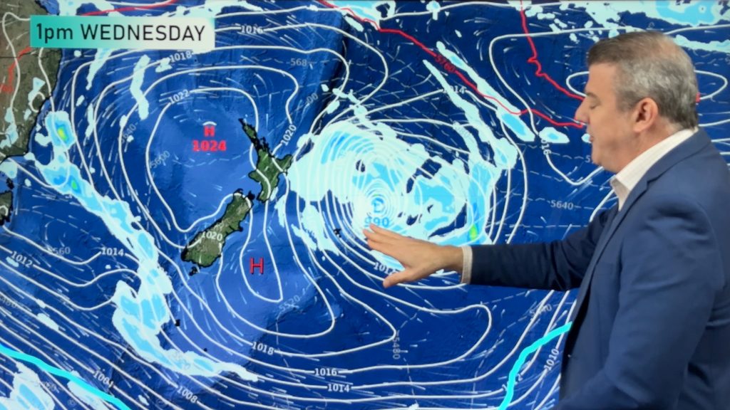
Next week subtropical and subantarctic airflows will meet over NZ – and the forecast is still yet to be locked in with precision due to the ‘messy’ nature of the forecast models. These models still can’t yet lock in the shape of the anticyclone over Australia, nor the low over New Zealand. Either way though, next week looks to be more wintry in the South Island and perhaps wetter in the North Island.
Sometimes when a subtropical airmass meets a subantarctic one it can create very heavy snow where that occurs. This may happen over some parts of Canterbury and/or the Southern Alps – from modelling in recent days that is the likely area, but we’re still a few days out from this all forming so we’ll update again over the weekend. Rain showers are forecast to sea level.
To make sense of the confusing modelling our hyper-local 10 day and hourly weather forecasts are updated each and every hour, crunching real time data on top of the global modelling from various Governments (like the maps we use in our weather videos) which tend to update twice a day.
For now the weekend looks warmer than average as an anticyclone tracks over the North Island – bringing foggy areas to the North Island but warmer nor’westers over parts of the South Island.
Some West Coast rain and some mountain snow in the lower South Island are likely this weekend.
Next week snow levels may lower to 200 metres or below in some South Island places – but this forecast is not locked in yet and hasn’t been consistent for days.
We’ll update again over the weekend as we start to fine tune what is expected next week.


- WeatherWatch.co.nz / RuralWeather.co.nz
- Get fewer weather surprises with our new alerting app … you set the criteria for $6.99 a month for multiple locations. Also, get MetService watches and warnings for multiple locations pushed to your device as part of that fee. See why so many businesses, growers and farmers in particular are using this product. The main app is free to use, optional alerting costs $6.99 a month (this covers our data and hosting costs).
- We use the world’s most accurate data.
Comments
Before you add a new comment, take note this story was published on 27 Jul 2024.


Add new comment