Friday Newsfeed: Cooler temperatures and rain – South Island
4/01/2024 4:00pm

> From the WeatherWatch archives
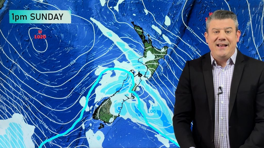
A cold front moves north over the South Island this morning then onto the lower North Island this afternoon. Expect a mostly cloudy day for the South Island with cool temperatures, showers or rain in the west spreads into the east coast this morning. It should stay dry for Southland, parts of Otago and Fiordland where there may be a few sunny spells.
Cloud thickens for the lower North Island, showers move in for Taranaki across to Wairarapa around midday then turning to rain this evening, rain gets into southern Hawkes Bay this evening. The upper North Island has partly cloudy skies, a trough or area of convergence forms bringing a few isolated showers for Northland across to East Cape, especially this afternoon where one or two may be heavy then clearing later. Temperatures reaching into the low twenties for many North Island regions.
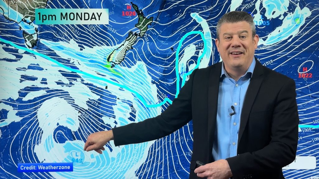
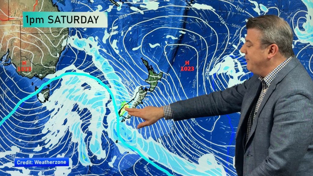
Settled for the South Island on Saturday apart from a few showers for Nelson / Marlborough. Cool temperatures and showers for the east of the North Island with southerlies, out west it’s warmer however showers are heavy in the afternoon for the upper North Island with thunderstorms, clearing at night.
Maps most relevant today are…
- Live Rain Radar
- Animated Temperature Maps
- RuralWeather: Localised Cloud, UV & Temperature Data & Graphs
See your local hourly & 10 day forecast at WeatherWatch.co.nz – or for more details and event planning visit RuralWeather.co.nz for the most detailed and hyper-local forecasts in NZ.


WeatherWatch.co.nz – Daily Newsfeed
Comments
Before you add a new comment, take note this story was published on 4 Jan 2024.


Add new comment