> From the WeatherWatch archives
Regions Affected:Northland (south of Whangarei), Auckland, Eastern Waikato, Coromandel, Bay of Plenty (from Te Puke northwards)
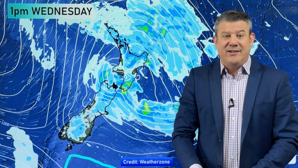
The “eye” of the large low that brought major thunderstorms to northern New Zealand yesterday afternoon is currently moving out into the Pacific Ocean off the Coromandel Peninsula. “The eye of the low – where there is little cloud, wind and showers – is about 100kms wide so as it moves out to sea the western eye wall, which is full of heavy showers, is moving into Auckland” says head weather analyst Philip Duncan.
Duncan warns motorists to take extreme care this afternoon driving anywhere between Orewa and Rotorua as these heavy showers and isolated thunderstorms will likely cause surface flooding and potentially flash flooding to some streams and drains.
He says worst affected at this stage will be Auckland city and the greater Auckland region with the highest risk between noon and 6pm.
The risks of further thunderstorms will ease this evening as a cooler southerly kicks in. “Cooler air is drier, so there’ll be less moisture and heat to create these big towering clouds”.
Comments
Before you add a new comment, take note this story was published on 24 Sep 2007.


Add new comment