Ex-Tropical Cyclone Hale arrives in the North Island with wind & rain
10/01/2023 5:04pm

> From the WeatherWatch archives
The centre of ex-tropical Cyclone Hale has finally made landfall in the upper North Island, and will now weaken and fall apart.
See our updates from overnight below:
To make more sense of what is moving through today please watch our special extended video update here. (This was recorded on Tuesday – our daily videos don’t return until mid next week.
Comments
Before you add a new comment, take note this story was published on 10 Jan 2023.
Latest Video
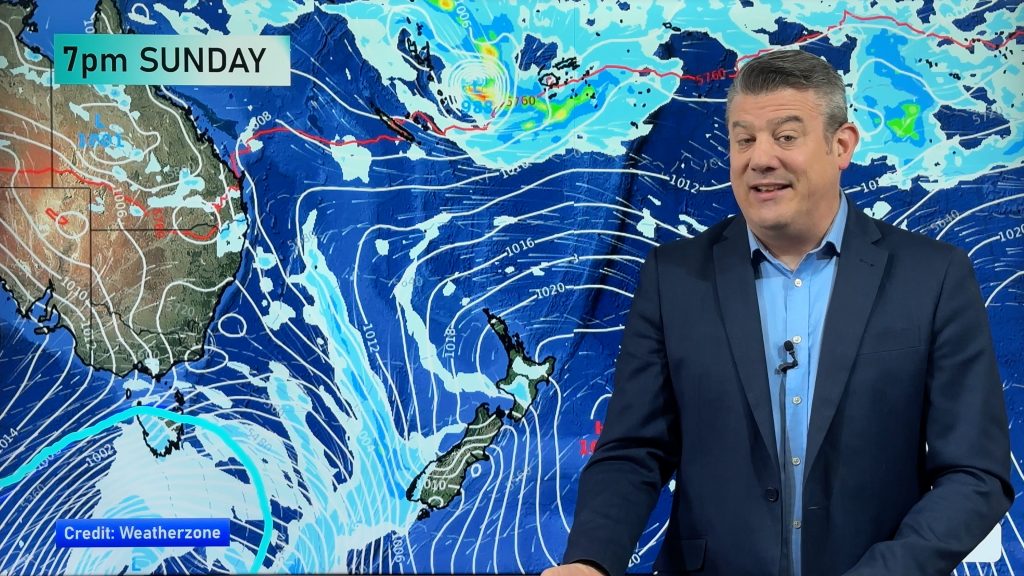
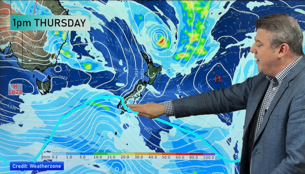
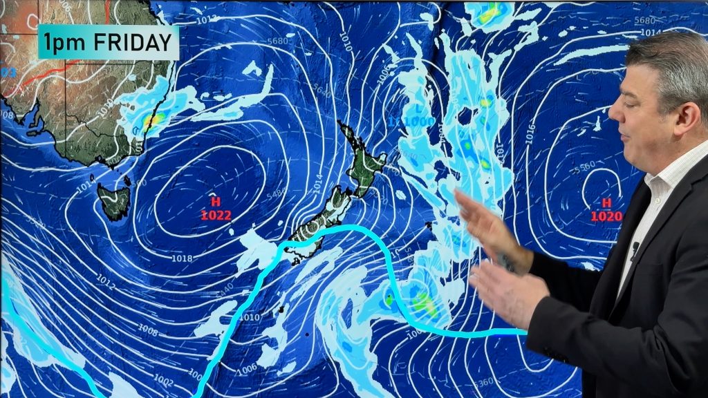
Southerly coming Friday, windy westerlies to return next week + Tropical cyclone update
A colder change is coming for southern NZ later on Thursday and into Friday, with a southerly flow going nationwide…
Related Articles
Southerly coming Friday, windy westerlies to return next week + Tropical cyclone update
A colder change is coming for southern NZ later on Thursday and into Friday, with a southerly flow going nationwide…
Refreshing Friday coming + update on possible Vanuatu tropical cyclone
Hot weather will give way to cooler, or more refreshing, weather by the end of this week as a southerly…
A few temperature swings, a subtropical low & subantarctic airflows
High pressure dominates much of NZ to kick off this week – and likely returns again this weekend – but…


Add new comment
Mitchell Lowe on 10/01/2023 7:01am
How strong will the winds get in tokoroa?
Reply
WW Forecast Team on 10/01/2023 9:24am
Hi there, probably not too strong – the main winds are around now and will ease back overnight as the low moves in and starts to weaken. Check the wind gust graphs at RuralWeather.co.nz for more details.
Cheers
WW
Reply