> From the WeatherWatch archives
Sub tropical storm to make direct hit on Chatham Islands
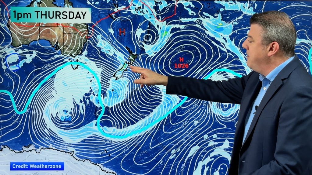
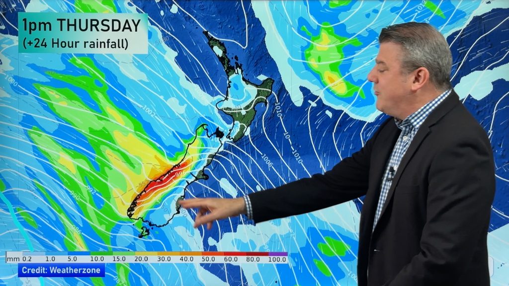
An intense tropical depression, the second in just days, is set to create dangerous rip tides along the east coast of New Zealand over the next few days. The storm, with a central air pressure of around 989 hector pascals, is currently a few hundred kilometres off East Cape and is gathering strength. TRN’s head weather analyst Philip Duncan says the deep low will create some big seas. “The east coast of the North Island will be most exposed with waves out to sea several metres high, creating large swells along our coastline. Beaches from about East Cape to Banks Peninsula are likely to have dangerous rips and beach goers should take extreme care, especially in Gisborne and Hawkes Bay where the weather is expected to be hot and sunny”.
Duncan says the tropical storm’s gale force winds won’t impact the North or South islands but will make a direct hit on the Chathams. “Chatham Islanders are used to wild weather but this one will be particularly nasty with severe gales and huge seas”. He says the eye of the storm will pass over the island group between midnight tonight and noon Monday. 750 people live permanently on the Chatham Islands. “Winds will be strong enough to lift roofs and uproot trees”.
Comments
Before you add a new comment, take note this story was published on 26 Jan 2008.


Add new comment