> From the WeatherWatch archives
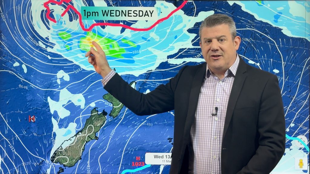
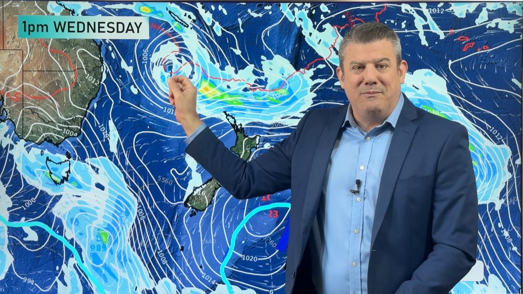
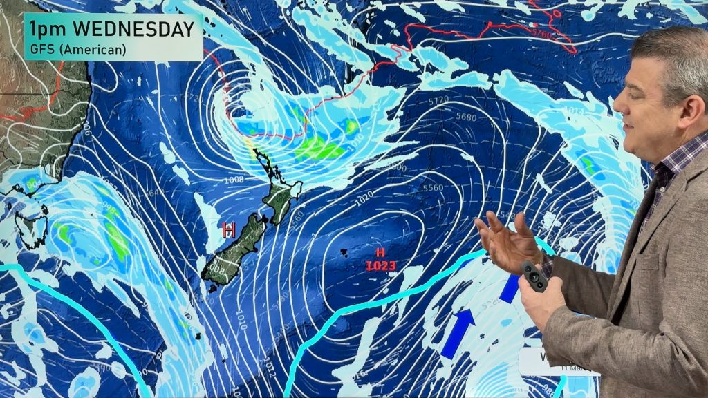
On Thursday we have a cold southerly airflow over the South Island, moving onto the lower North Island in the morning then onto the upper North Island in the afternoon and evening.
Associated with this southerly airflow is cold air – especially in the upper atmosphere, which brings some instability with it.
It’s looking like showers for the east of the South Island, though these ease in the afternoon, then clear in the evening for the most part, along with cold southerlies.
Showers about Canterbury may be heavy in the morning with a chance of hail and thunderstorms on parts of the coast, then easing.
Otago and Southland see morning showers clear, and sunny areas develop, while winds blow from the south and then ease.
Sunny areas dominate on the West Coast along with southwesterly winds, while there’s the chance of an isolated shower about Buller later afternoon or evening.
For the North Island it’s a fairly wet day, but it all comes down to timing, showers for most regions could become heavy with possible thunderstorms and hail in the morning for parts of the lower North Island, before the upper North Island later in the afternoon and evening.
Auckland and Northland mainly see garden variety showers during the day, though Auckland may see a heavy shower or two pass through overnight.

– Aaron Wilkinson & Drew Chappell, WeatherWatch.co.nz
Comments
Before you add a new comment, take note this story was published on 16 Dec 2015.


Add new comment