> From the WeatherWatch archives
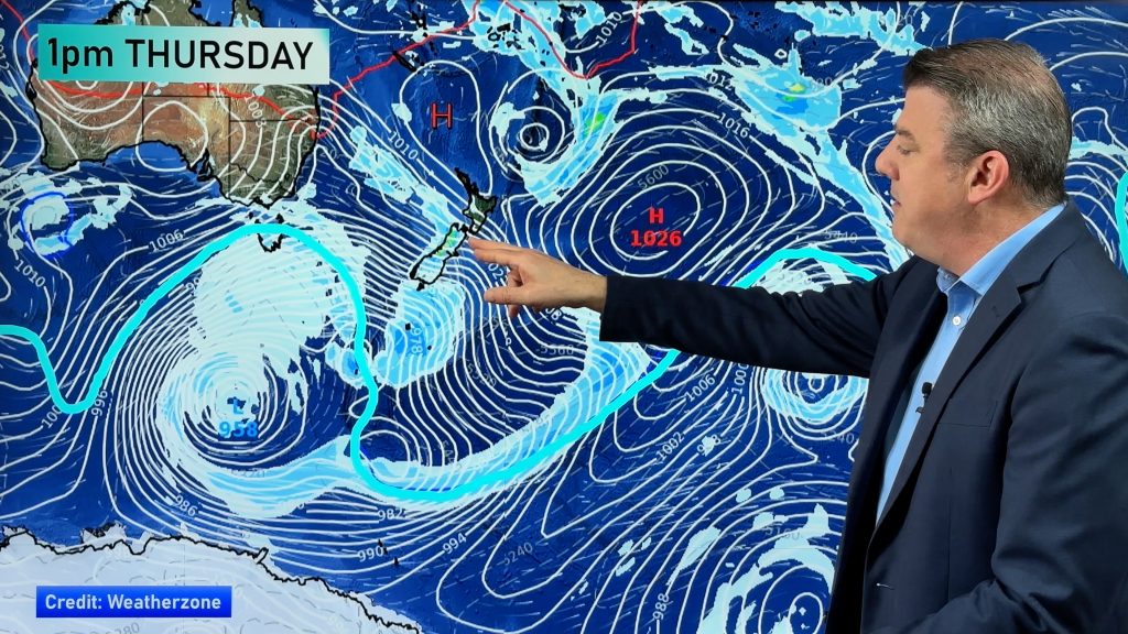
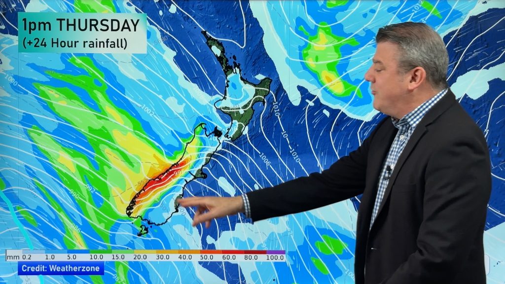
A very slow moving front that brought substantial rain from Southland to Waitomo over the weekend is this morning moving into the northern half of the North Island. But while conditions will be much drier for the rest of the country today – and although winds have all but died out in many areas – it appears to be the calm before the storm.
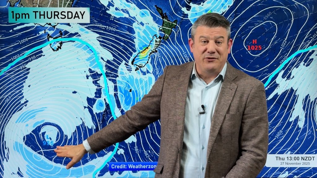
“Tomorrow is a completely different picture with a spring storm the length of the country moving in” says head weather analyst Philip Duncan. “The winds look as though they’ll be stronger over a much greater area than the weekend and probably will affect more populated places”.
Mr Duncan says boat owners should check their moorings today and for those planning on spending Tuesday or Wednesday outdoors should stay up to date with the latest weather news here at weatherwatch.co.nz and keep in touch with regular weather forecasts and warnings.
Heavy rain is mostly likely along the west coast of both islands with strong winds and gales affecting exposed regions from Auckland to Wellington. “Exposed and eastern areas will be most exposed to the gales with those dry winds pushing temperatures into the upper 20s across inland Hawkes Bay and Gisborne”.
MetService has also issued a severe weather outlook expecting a high chance of north west gales and heavy rain for much of the North Island with moderate chances elsewhere. You’ll find their predictions in the warnings section of their site.
We’ll have more details on where the heaviest rain and winds will be in our update this afternoon.
Comments
Before you add a new comment, take note this story was published on 5 Oct 2008.


Add new comment