Thursday’s southern cold front, but westerlies ahead of it boost some eastern temps to 30 degrees (+4 Maps)
27/11/2024 4:00am

> From the WeatherWatch archives
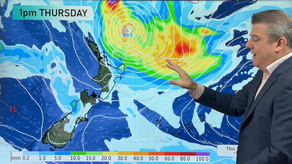
A cold front moves into the South Island on Thursday, mostly the afternoon and evening, preceded by windy westerlies which may reach severe gale in some places.
Let’s get into the forecast for Thursday to start with…
RAIN:
Most of NZ is dry again on Thursday but rain arrives in the southern half of the West Coast in the morning and heads northwards with heavy falls during the afternoon or evening. Some rain and showers move into Southland and Otago with showers making it further north later.
WIND:
West to north-west winds pick up over the South Island and lower/eastern North Island with gales in exposed places, maybe severe gale around the Southern Alps, the foothills and about Cook Strait later.
TEMPERATURES:
Most of NZ is warmer than average on Thursday for late November, but a cold change arrives in the lower half of the South Island later today. The eastern North Island and eastern South Island will be hottest with temperatures climbing into the mid to upper 20s, maybe even into the early 30s for places like Hawke’s Bay. Remember that cooler air arrives on Friday. Check your 10 day, hourly, WeatherWatch or RuralWeather forecasts to drill down deeper.
DAYS AND WEEKEND AHEAD
By Friday high pressure starts to return with lighter winds and drier skies – although some cloud and isolated showers are possible. Cooler air moves further up the nation.
That high looks to cross NZ on Saturday bringing some cloud and a few isolated showers into the upper half of the North Island, otherwise dry.
On Sunday, December 1st, the high likely drifts a little to our east with warm weather nationwide and maybe a few isolated showers again around the North Island.
Next week kicks off with settled weather almost nationwide, just some rain around Fiordland on Monday.
Tuesday is similar but windier nor’westers return from Wellington and Wairarapa southwards.


As always drill down deeper with your hyper-local, hourly, 10 day forecasts by downloading the FREE WeatherWatch App.
Comments
Before you add a new comment, take note this story was published on 27 Nov 2024.


Add new comment